St. Louis Missouri Infrared FLIR Thermal Drone Services
Infrared FLIR thermal drone services are no longer a niche specialty reserved for industrial inspections and technical consultants. In St. Louis, Missouri, they have become a highly practical tool for businesses, property managers, facility teams, construction professionals, marketers, engineers, and organizations that need a faster, safer, and more revealing way to evaluate buildings, equipment, land, and infrastructure.
For decision makers responsible for photography, marketing, operations, and video production, thermal drone imaging offers something conventional cameras cannot: the ability to visualize heat patterns, temperature anomalies, and hidden conditions that may never appear in standard photography or video. When paired with experienced image acquisition, production planning, and post-production, thermal drone services become even more valuable. They can support documentation, inspections, visual storytelling, reporting, facility assessments, and branded communication.
At St Louis Video Production, we view infrared FLIR thermal drone services as both a technical solution and a visual communication tool. The right thermal aerial workflow does more than collect data. It helps businesses understand what is happening, document it clearly, and present it in a way that supports better decisions.
What Infrared FLIR Thermal Drone Services Actually Do
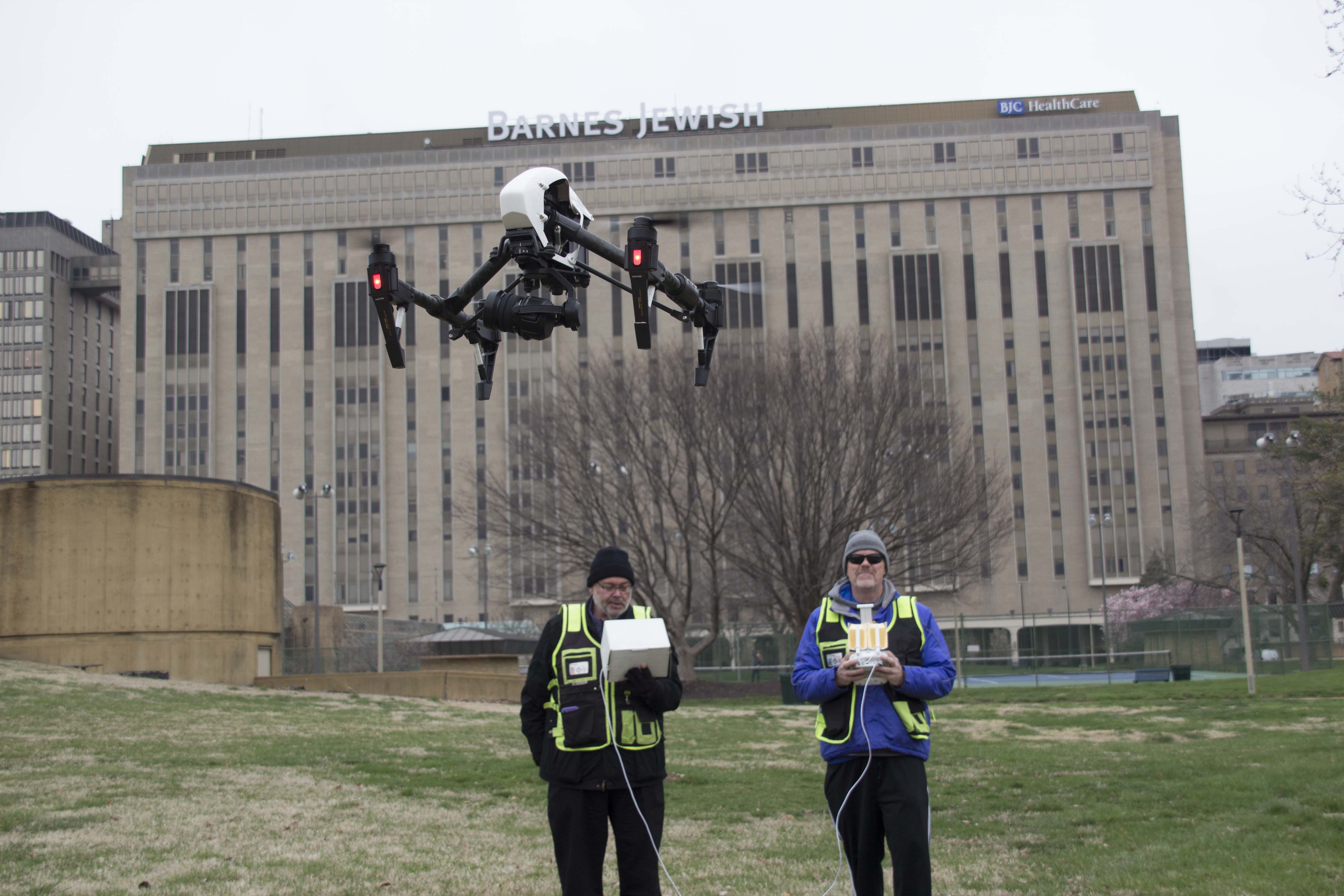
A thermal drone uses a specialized infrared camera to detect heat energy rather than visible light. That means the camera is not simply taking a normal picture from the air. It is capturing temperature differences across surfaces, materials, and structures.
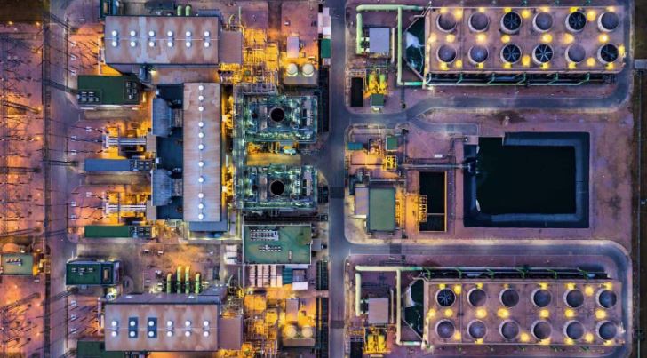
FLIR thermal imaging is especially useful because many real-world problems show up first as heat variation. Moisture intrusion may cool an area differently than dry material. Roof damage can create unusual temperature patterns. Electrical systems can reveal hot spots. Solar panels can show underperforming cells. HVAC issues may appear in airflow or insulation irregularities. Even certain site conditions and industrial processes can be better understood through thermal imaging.
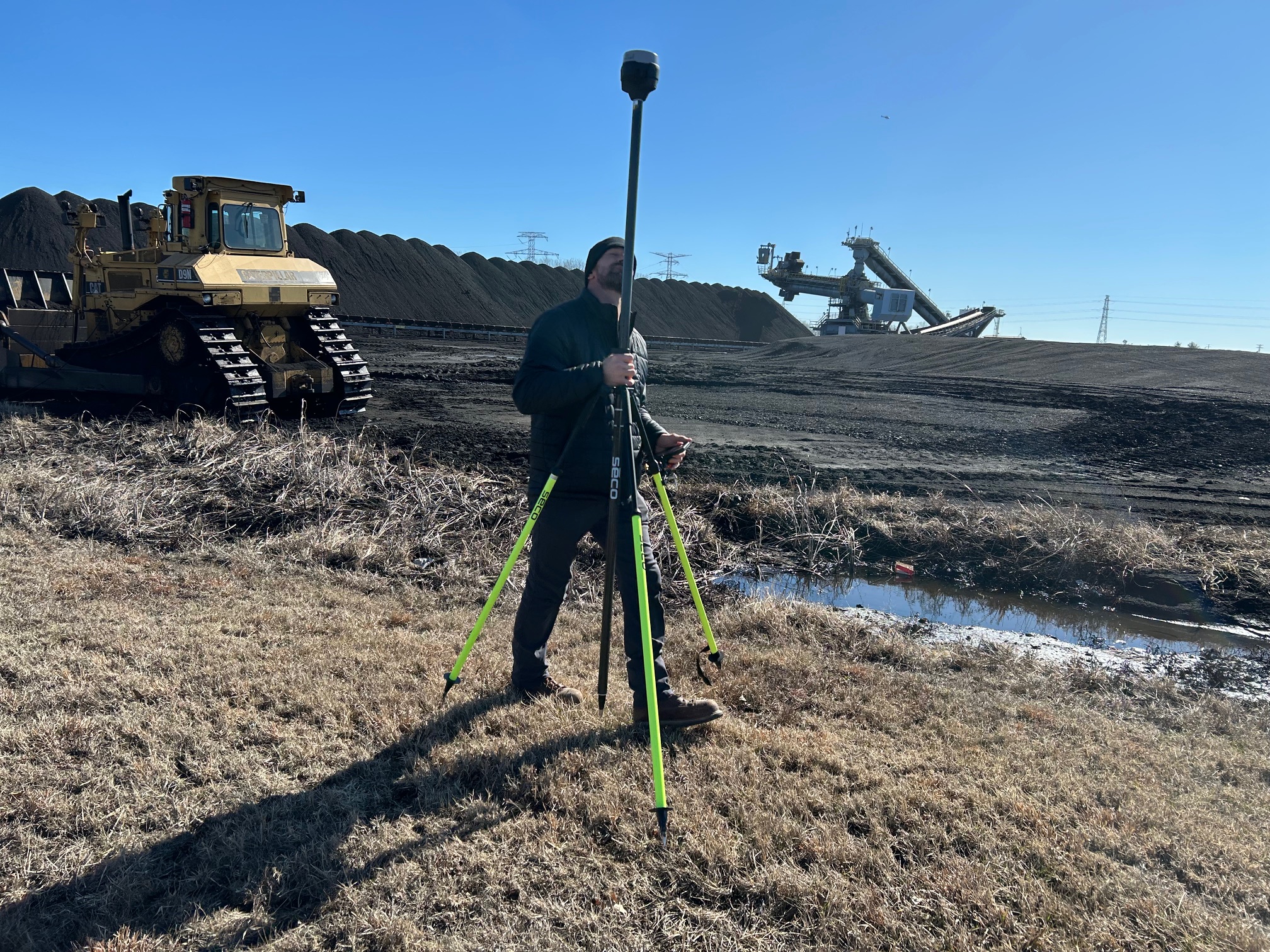
For businesses in the St. Louis area, this makes thermal drone services relevant across a surprisingly wide range of applications. Instead of relying only on ladders, lifts, scaffolding, or incomplete ground-level observation, organizations can evaluate broad areas quickly and safely from above.
Why Thermal Drones Matter for Businesses and Organizations
The business case for thermal drone imaging is straightforward. It improves visibility, reduces guesswork, and often lowers the time and disruption involved in understanding a problem.
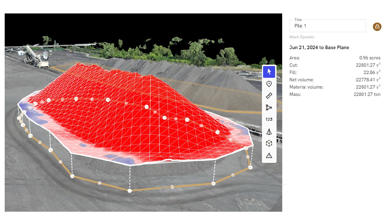
A conventional visual inspection may show what a roof looks like. A thermal inspection may help show where trapped moisture, insulation issues, or other temperature-related irregularities are occurring. A standard drone video may document the appearance of a building or facility. A thermal drone flight can add another layer of information that supports maintenance, repair planning, asset management, or insurance-related documentation.
This matters to decision makers because many projects are delayed or made more expensive by incomplete information. When the source of a problem is hidden, the cost of trial and error increases. Thermal imaging can help teams prioritize the right areas for closer examination, targeted repair, or additional testing.
It also matters from a communication standpoint. Executives, property owners, facility teams, engineers, marketing departments, and stakeholders often need clear visuals to understand technical conditions. A properly captured and well-presented thermal image can make a complex issue easier to explain than a long written report alone.
Common Uses for Infrared FLIR Thermal Drone Services in St. Louis
In a market like St. Louis, where commercial, industrial, institutional, and municipal properties vary widely in age, scale, and construction type, infrared thermal drone services can serve many purposes.
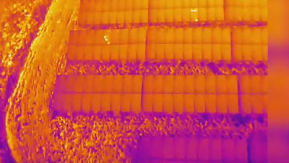
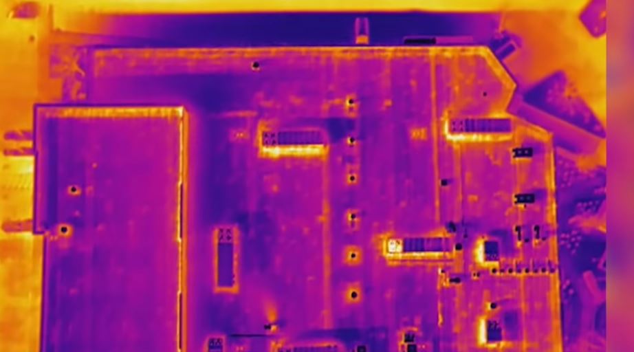
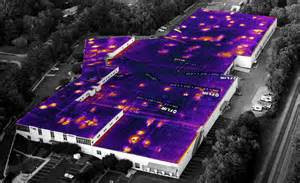
Roof inspections are one of the most common uses. Large roofs are difficult and time-consuming to assess manually, especially when the goal is to identify areas of moisture intrusion, failing insulation, or inconsistent surface behavior. A thermal drone can scan broad sections efficiently and provide imagery that helps direct attention to specific zones.

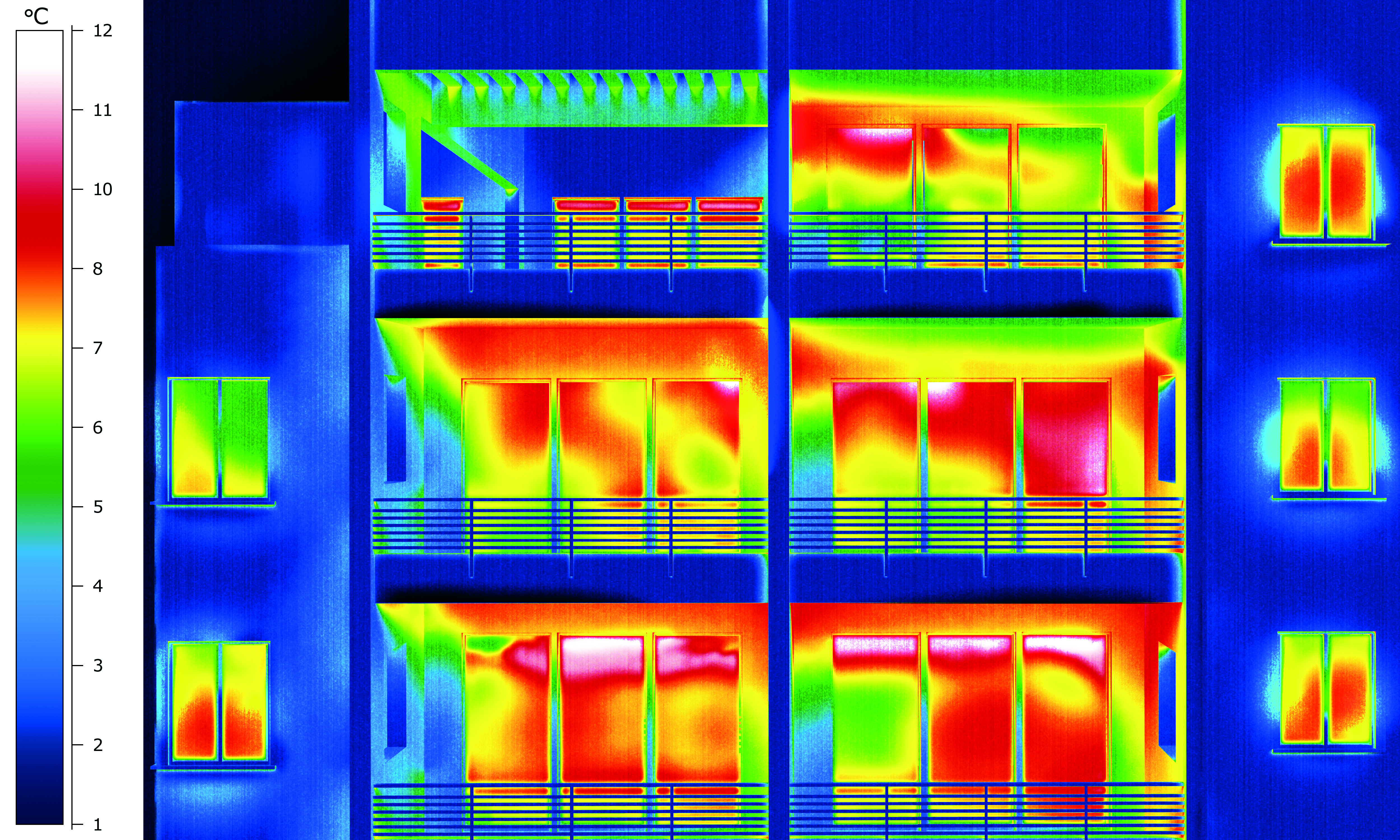
Building envelope analysis is another important application. Exterior walls, windows, and transitions may reveal heat loss, insulation inconsistencies, or other thermal irregularities that affect energy performance and comfort. For commercial buildings, schools, warehouses, and institutional properties, that insight can be valuable for maintenance and capital planning.
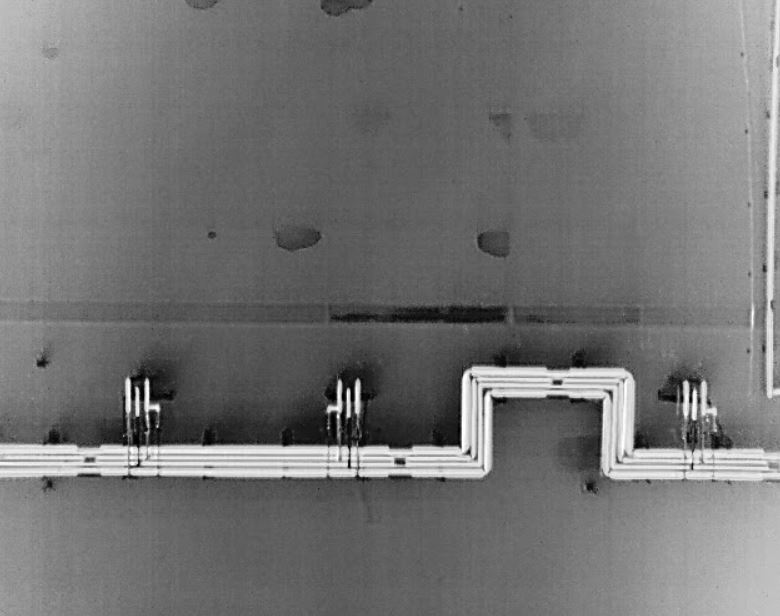
Electrical inspections can also benefit from thermal imaging. Certain components and systems may show abnormal heat signatures that suggest overloading, imbalance, resistance issues, or failing parts. While thermal imagery does not replace licensed electrical diagnosis, it can be a powerful screening and documentation tool.
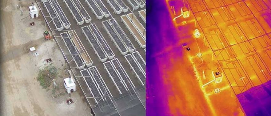
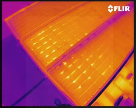
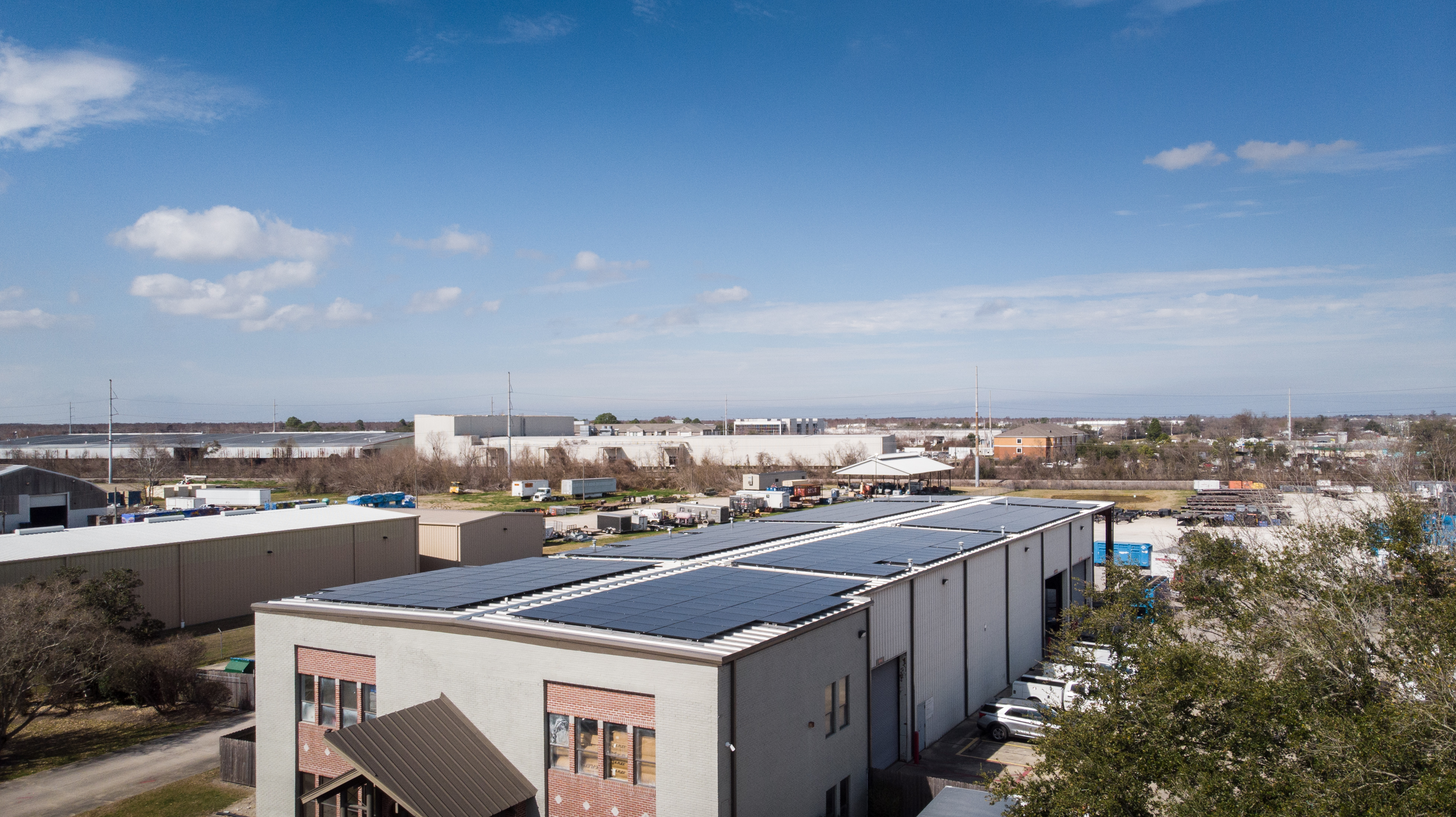
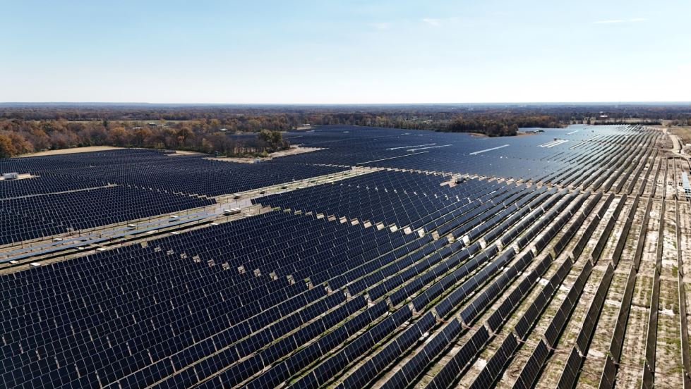
Solar panel inspections are well suited to aerial thermal capture as well. Thermal anomalies may indicate malfunctioning cells, damaged components, or underperforming sections within a solar installation. For organizations investing in renewable energy, thermal drone imaging helps support performance evaluation and maintenance planning.
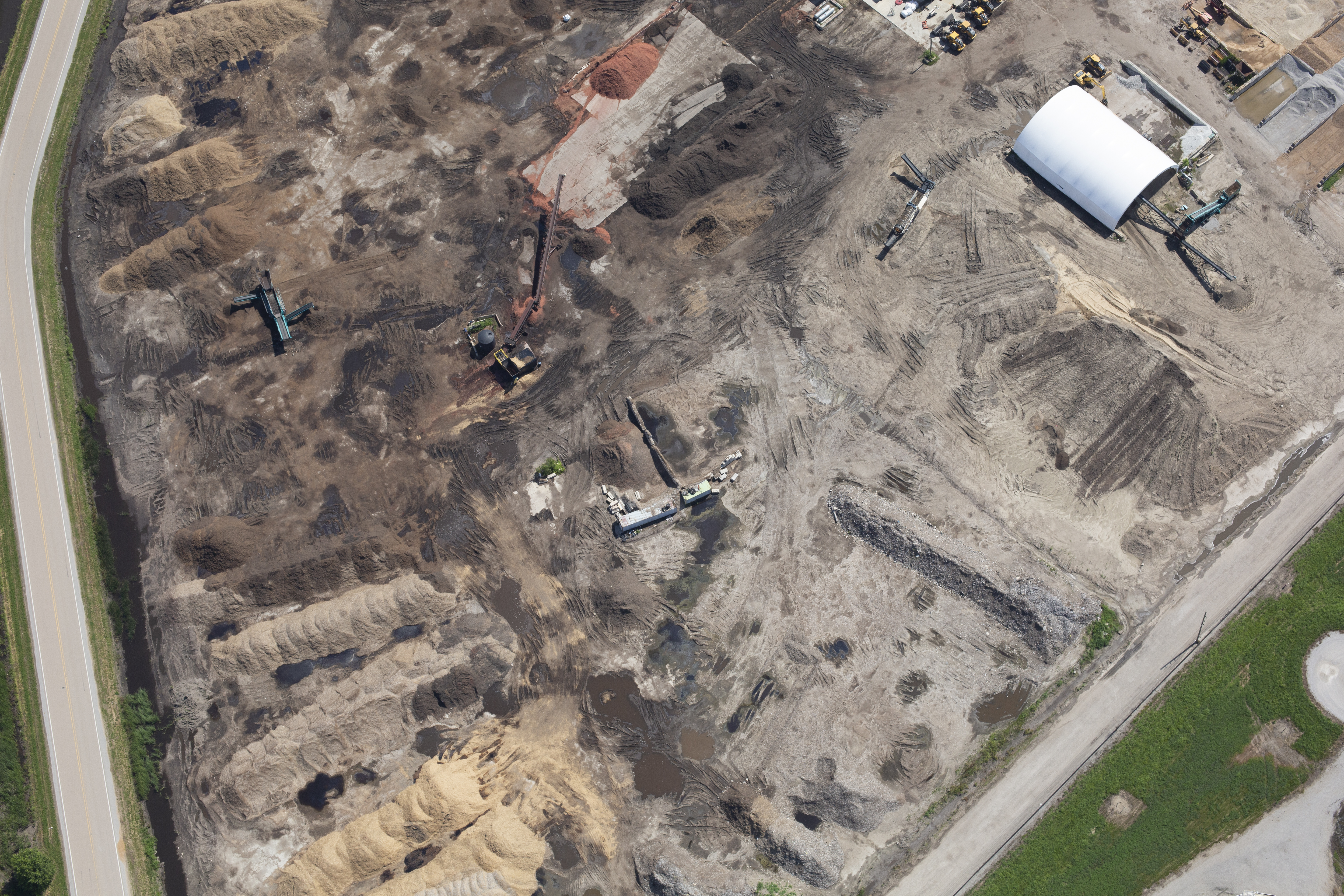
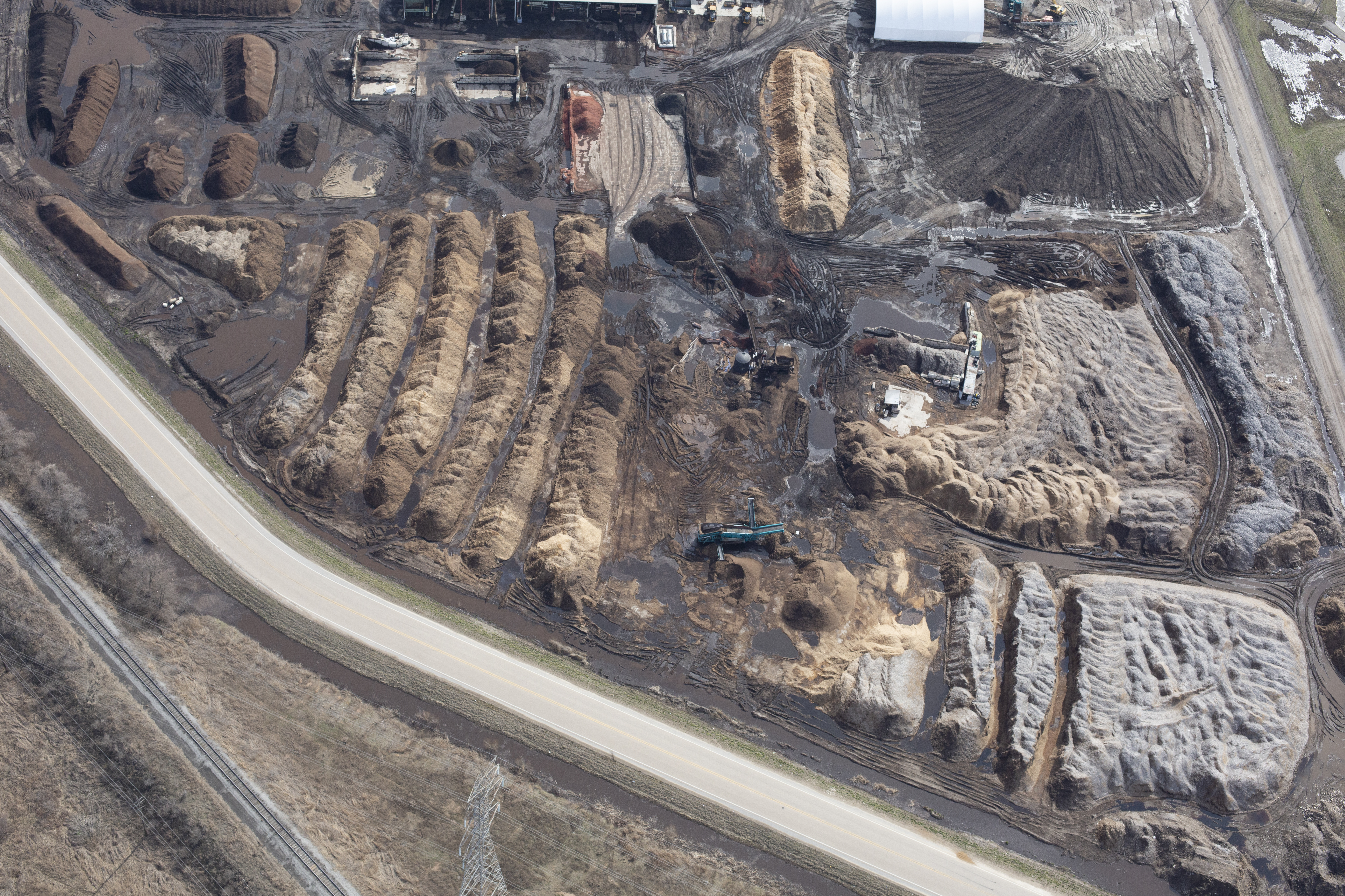
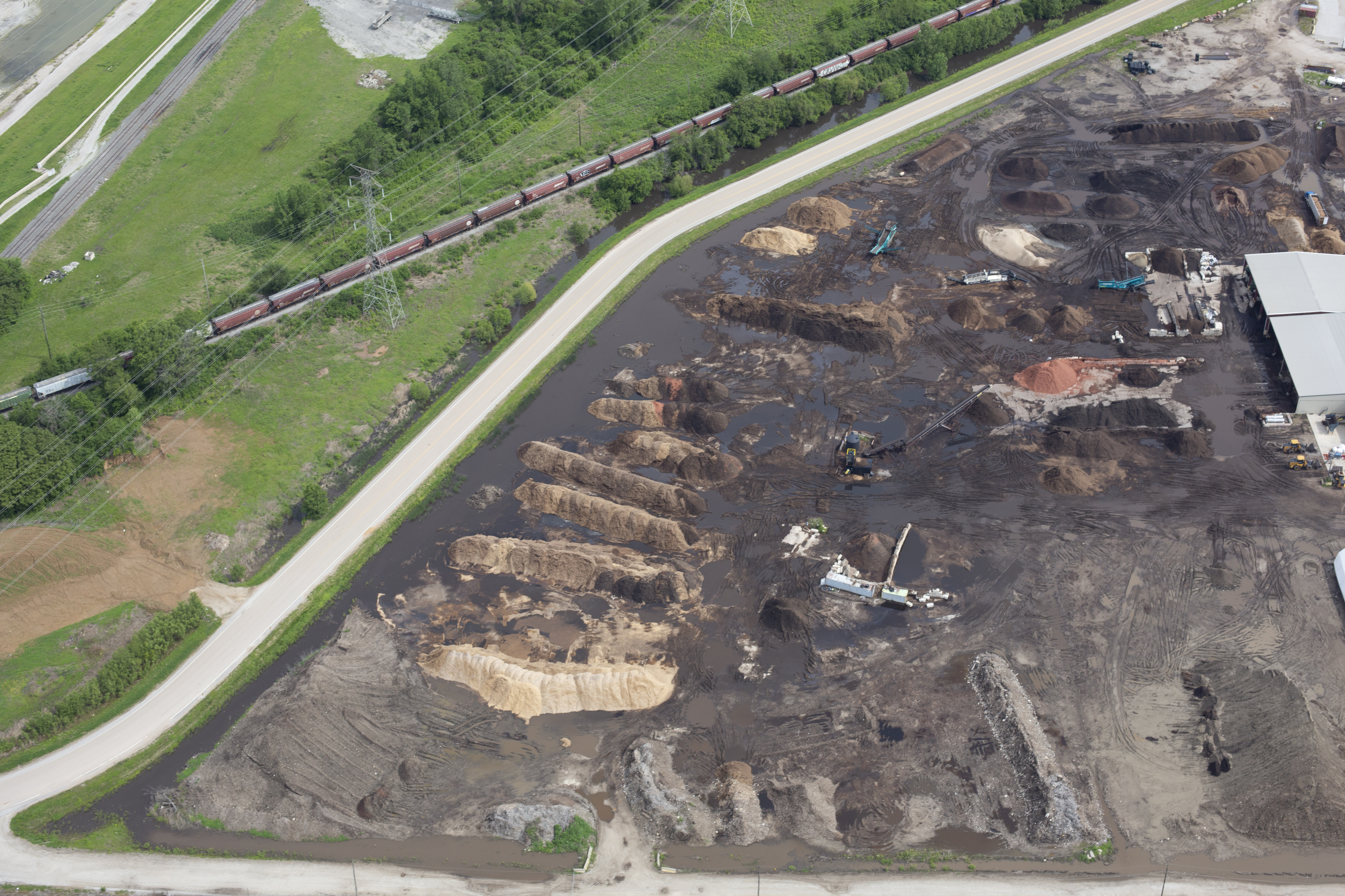
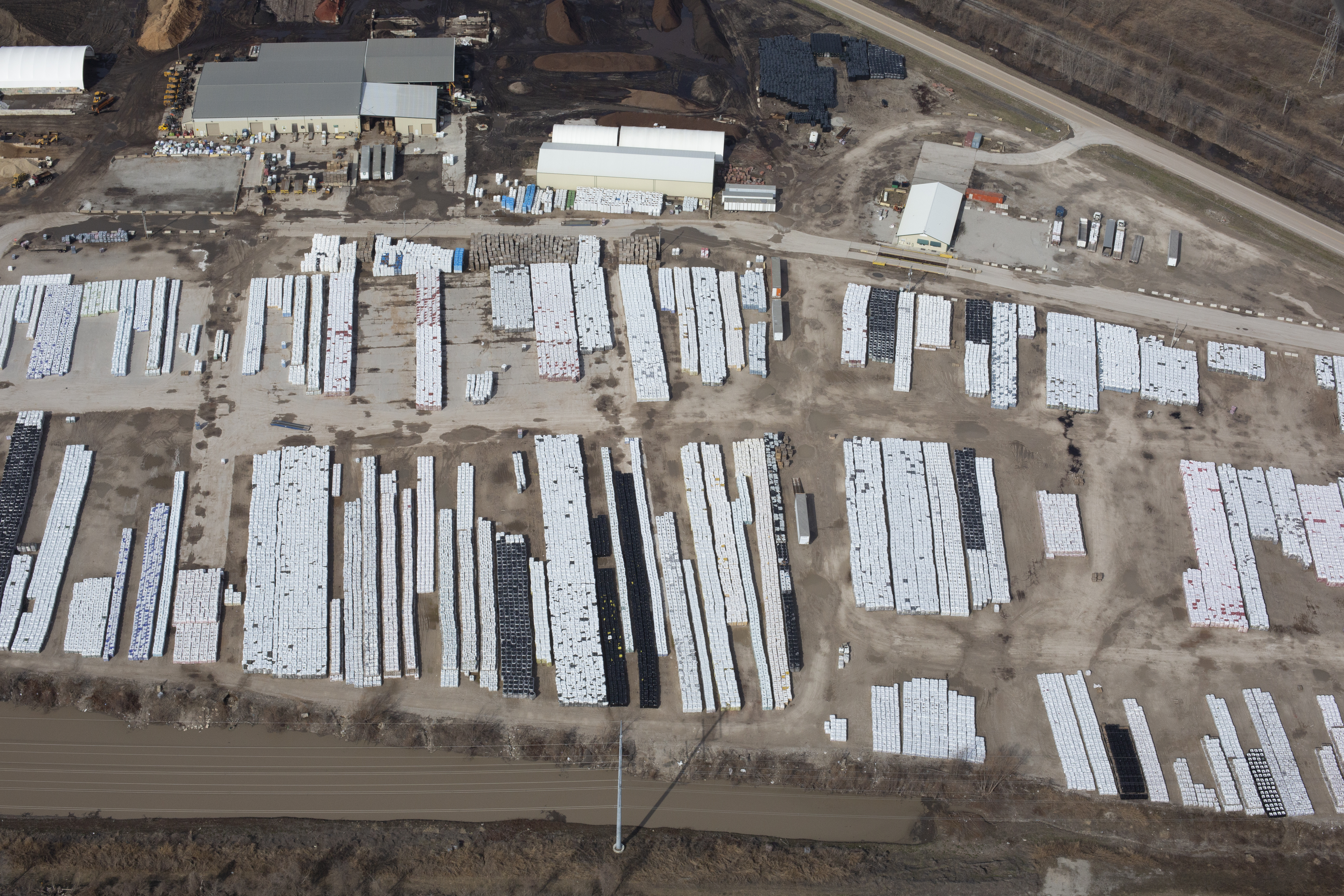
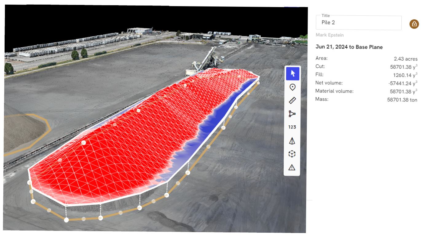
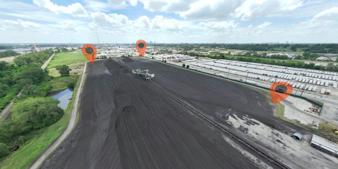
Construction and industrial sites can use thermal imaging for monitoring, process observation, and visual documentation. Depending on the project, thermal data may reveal patterns and issues not visible in standard footage. Agriculture, utilities, and specialized facility operations may also find unique value in infrared aerial imaging, particularly when large areas or difficult access points are involved.
The Advantage of Aerial Thermal Imaging Over Traditional Methods
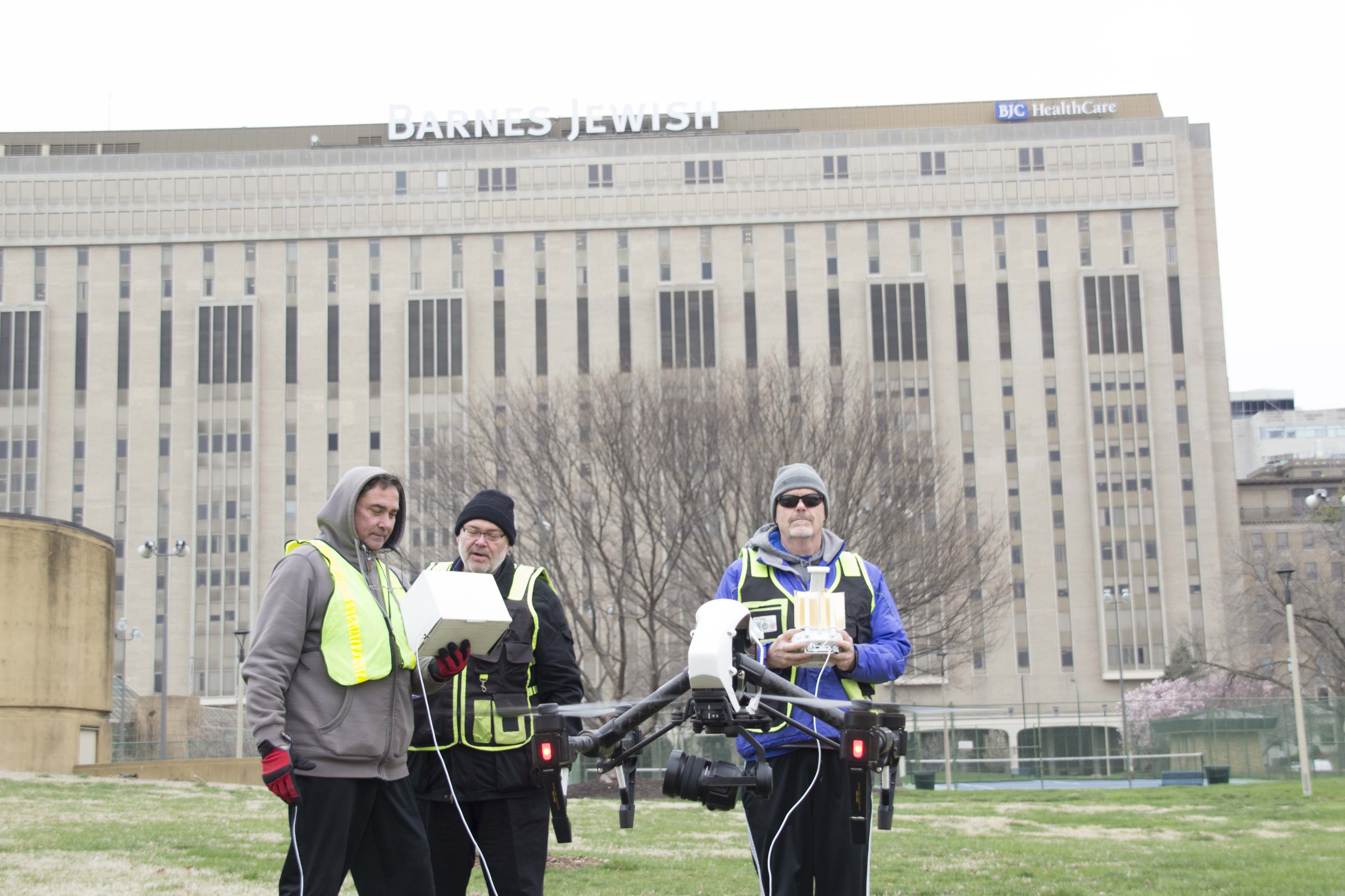
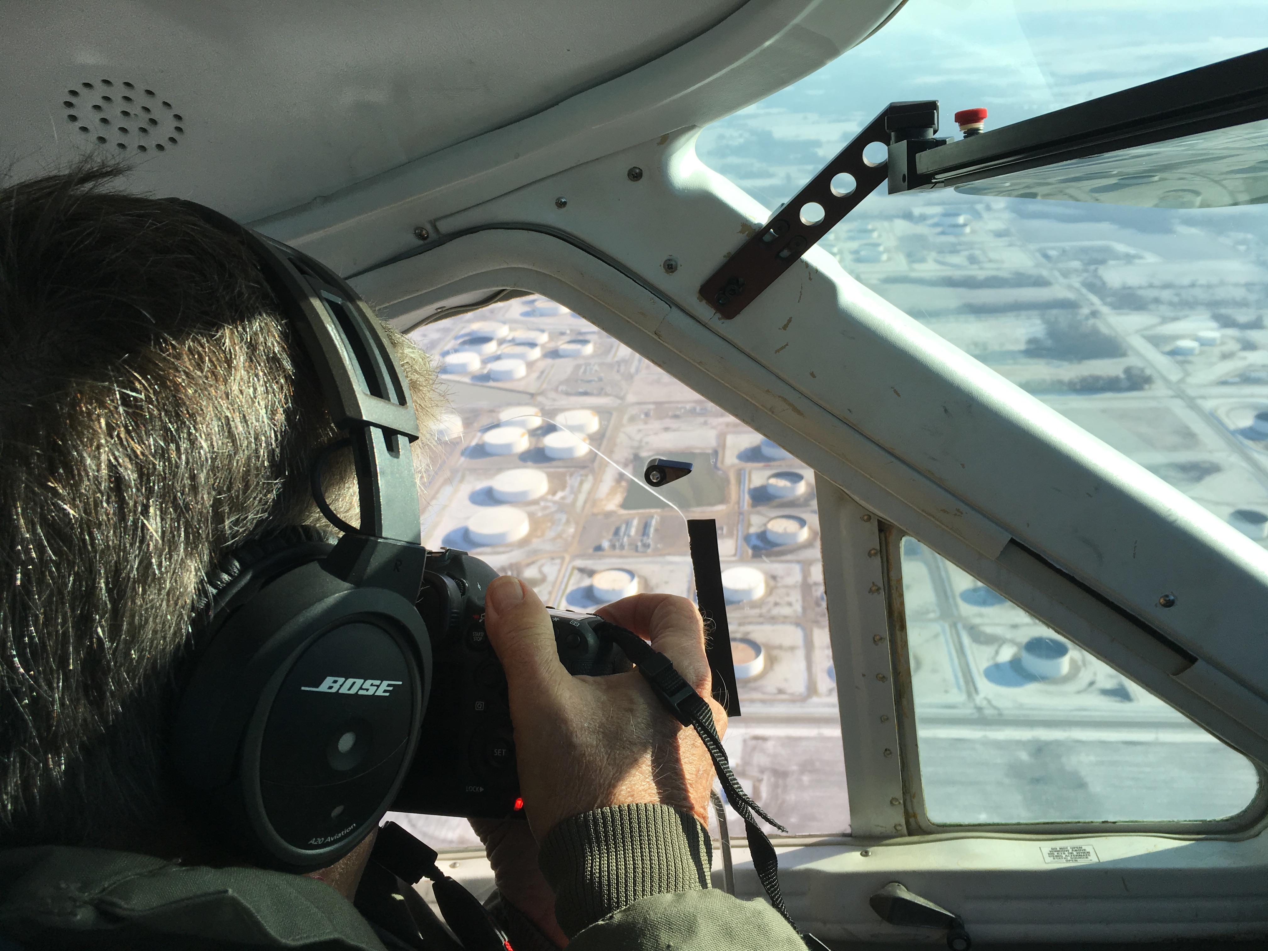
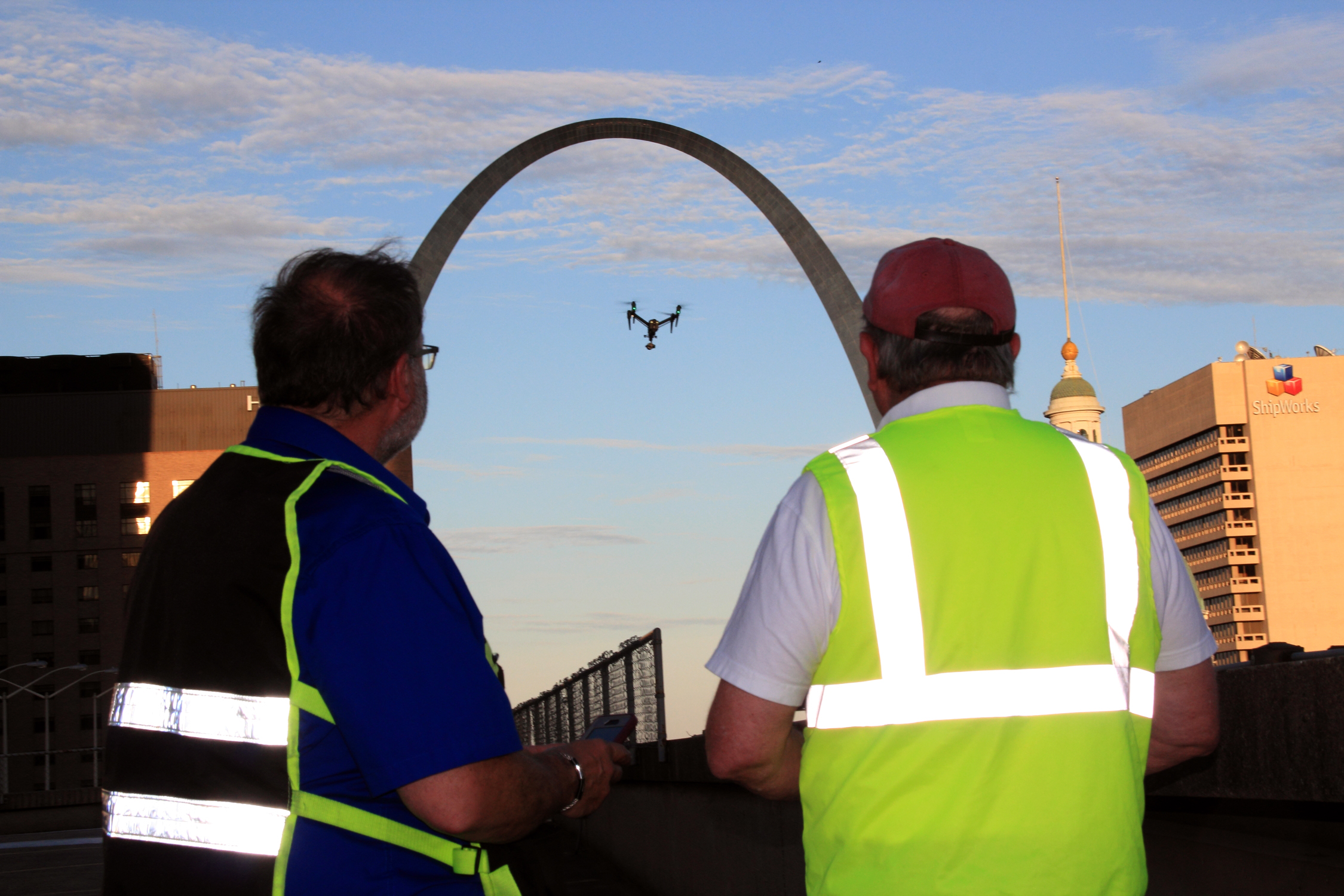
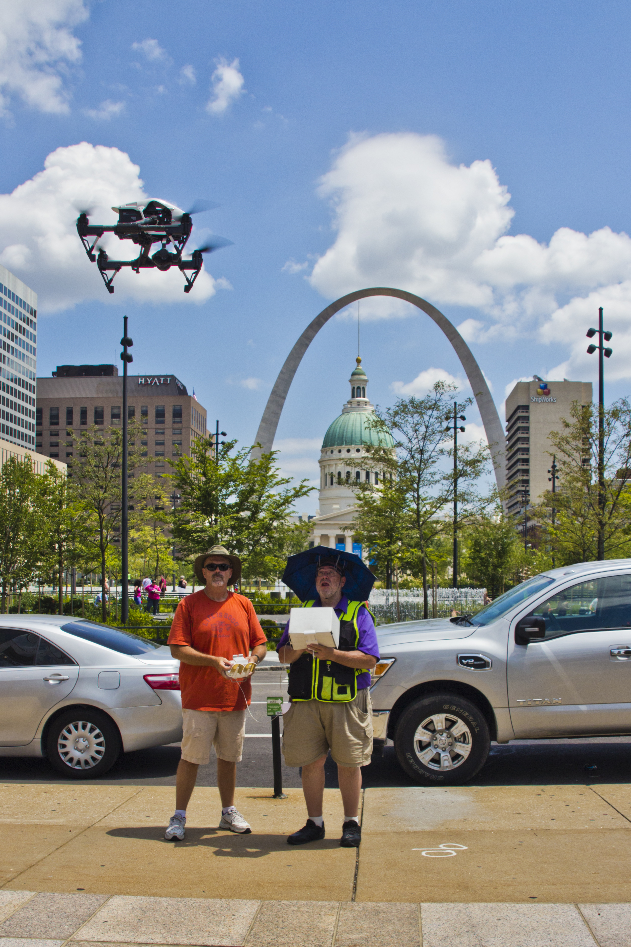
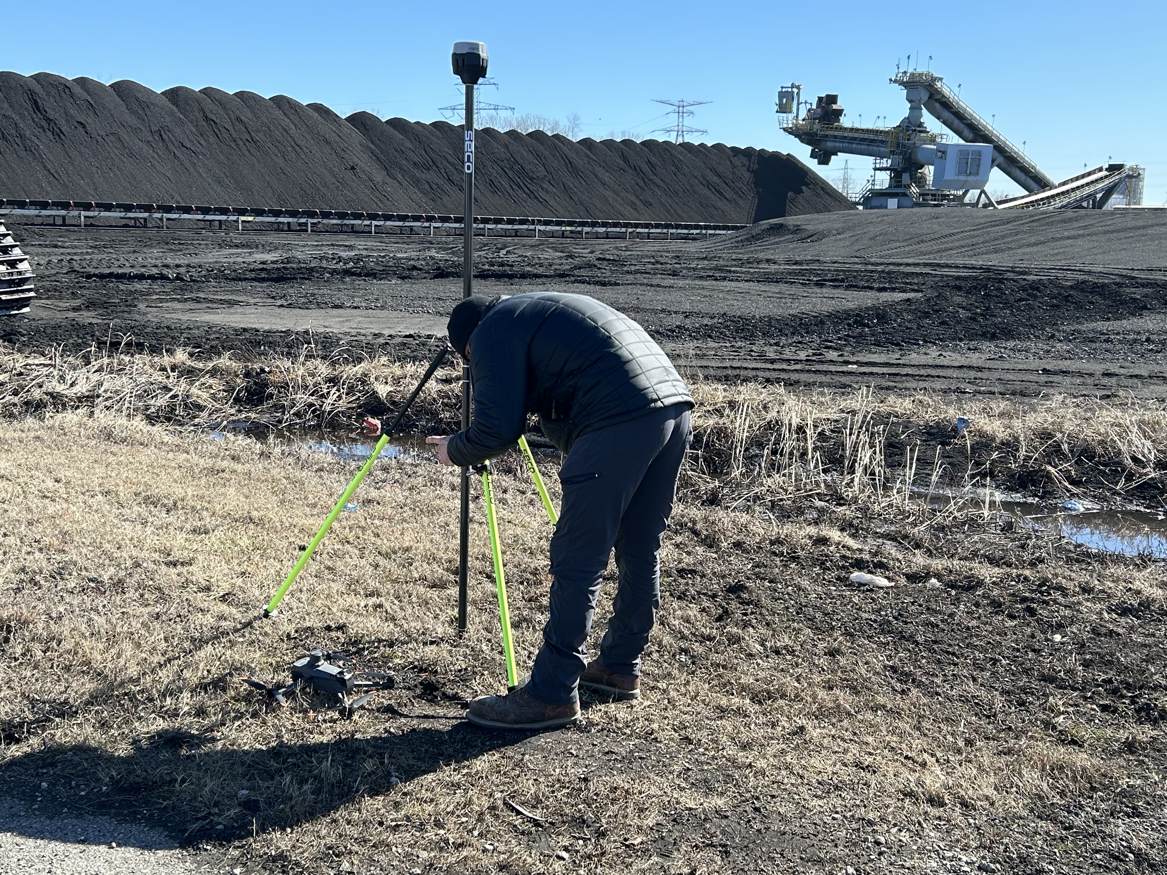
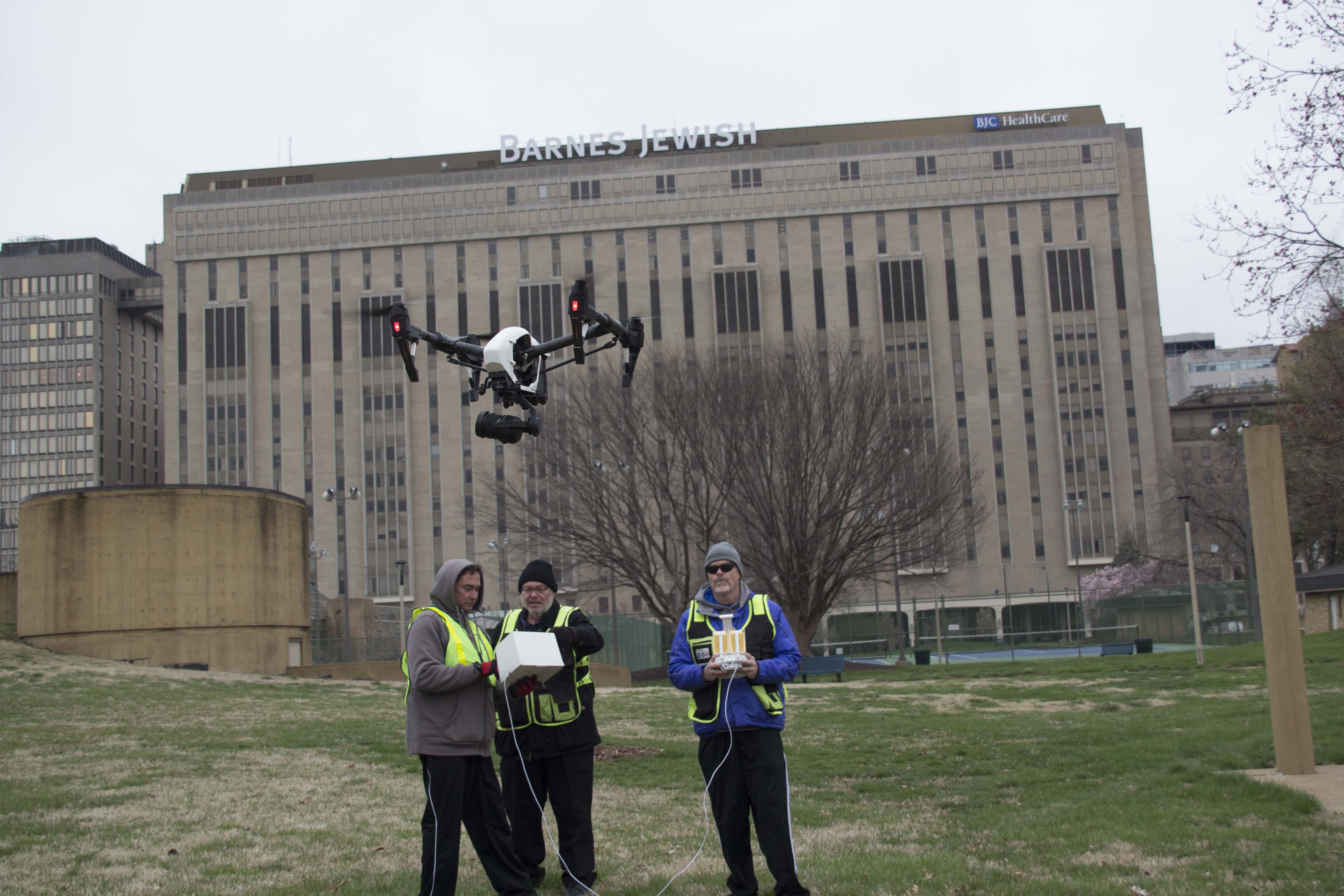
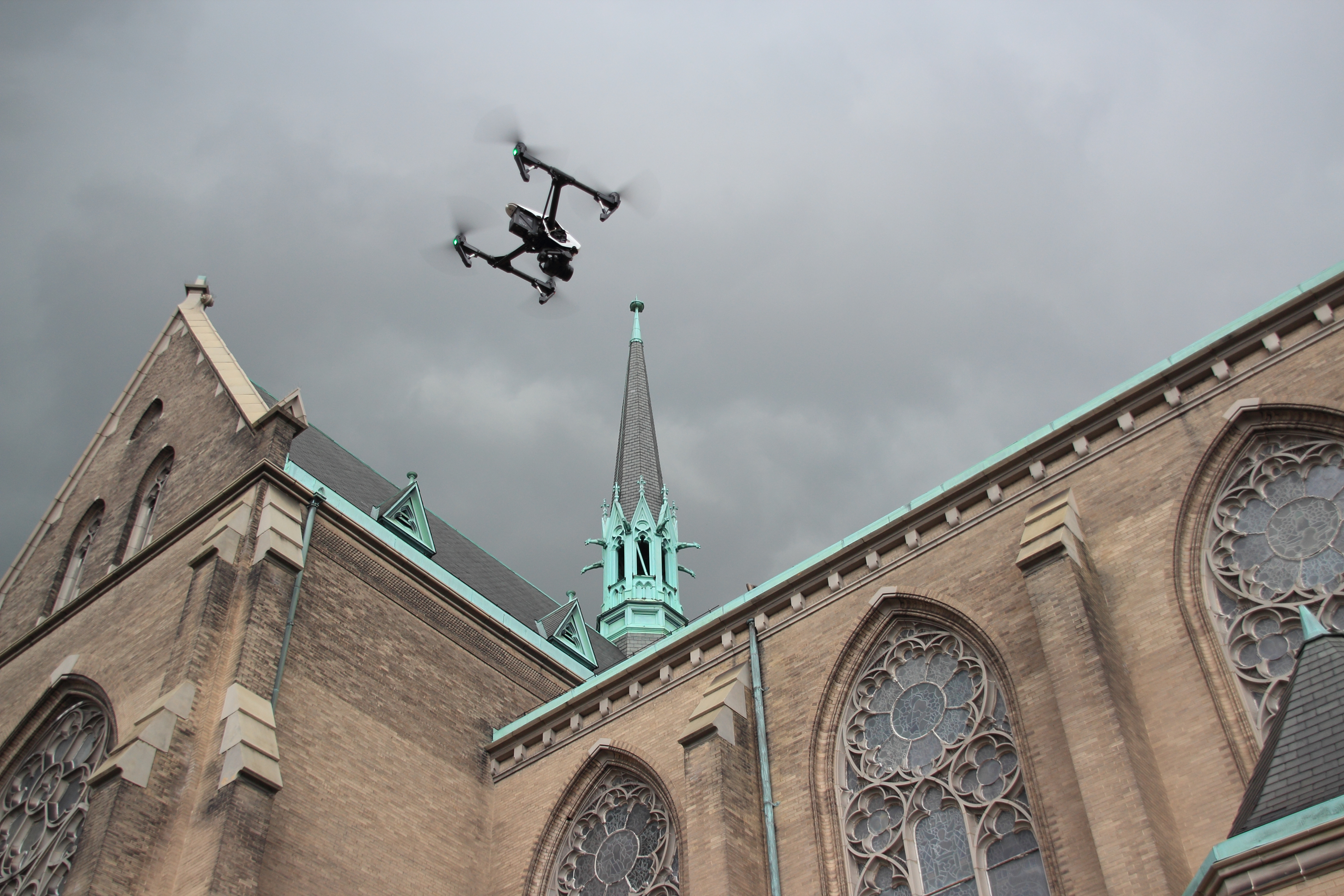
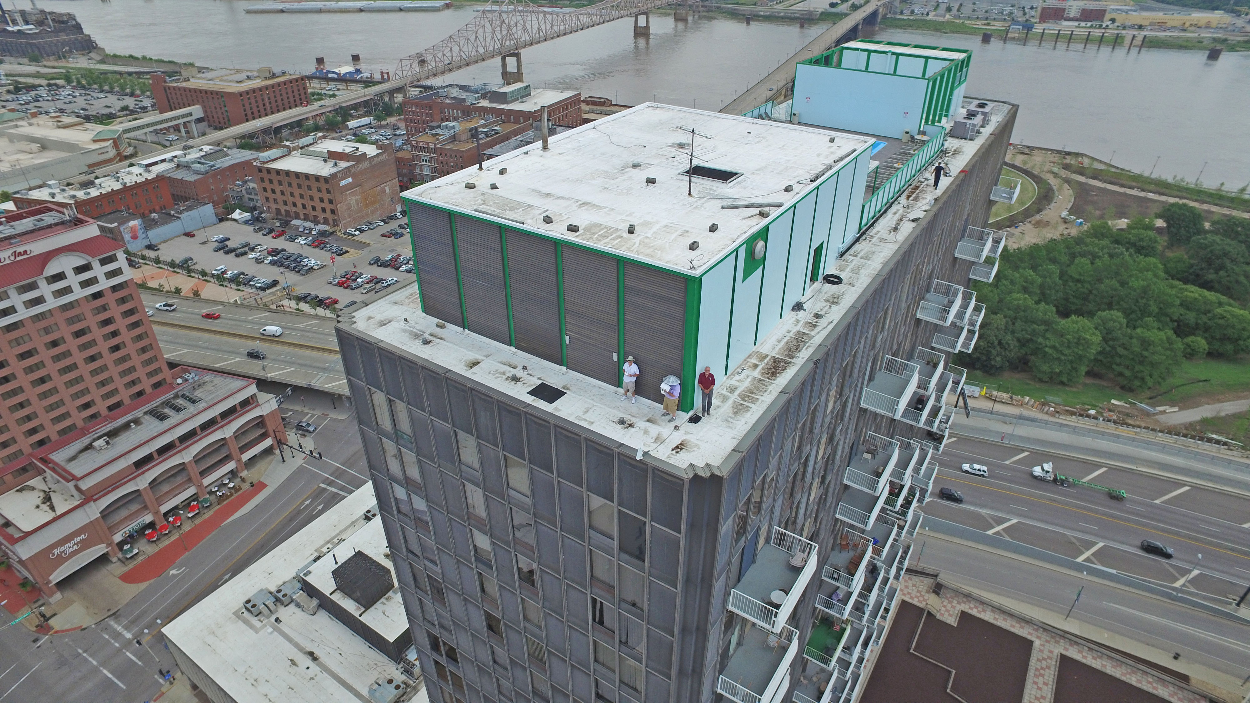
One of the biggest advantages of a drone-mounted thermal camera is access. Many buildings and sites are difficult to inspect from the ground. Some involve height, slope, fragile roofing materials, limited access points, or operational hazards. A drone allows an experienced operator to capture thermal imagery from multiple angles without placing personnel directly on surfaces or requiring more invasive setup.
Another advantage is coverage. A drone can survey a broad area far more quickly than many manual methods. That speed matters when working around business schedules, weather windows, facility operations, or time-sensitive maintenance needs.
A third advantage is clarity through context. Ground-based thermal imaging has value, but an aerial perspective often reveals patterns across an entire roof, elevation, or site. Seeing the full thermal picture can make it easier to identify relationships between anomalies rather than examining isolated sections one at a time.
Finally, thermal drone imaging supports better visual reporting. Side-by-side visible and thermal images, annotated deliverables, edited video segments, and post-produced visuals can help technical findings become understandable to non-technical stakeholders.
What Decision Makers Should Look for in a Thermal Drone Provider
Not all drone services are the same, and not all aerial photographers are equipped to deliver meaningful thermal results. For businesses and organizations, the key is finding a provider that understands both the technical side of acquisition and the communication side of production.
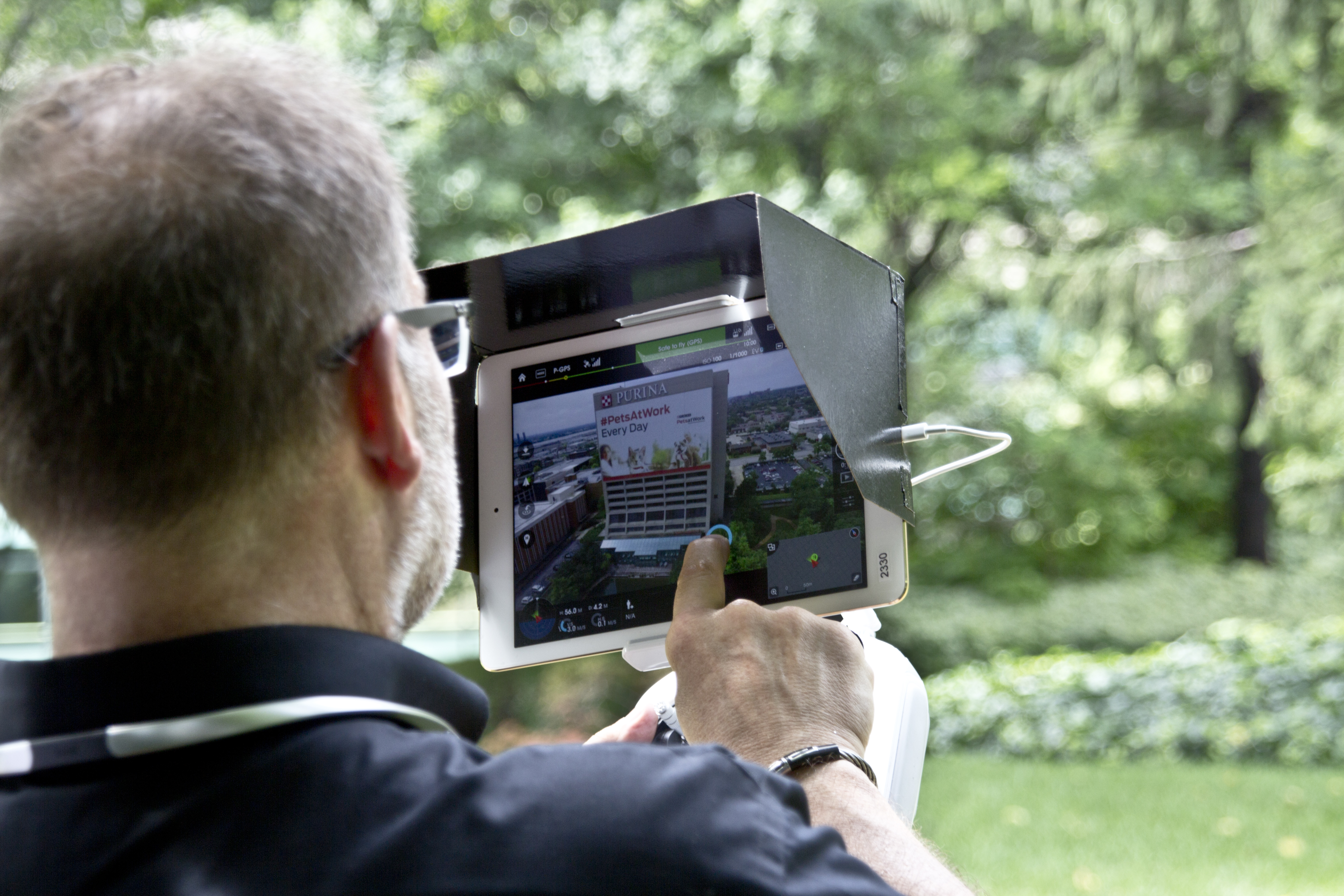
Image quality matters, but so does mission planning. Thermal results depend heavily on timing, weather conditions, surface characteristics, environmental variables, flight path, angle, and the purpose of the inspection. An operator needs to understand how to capture useful imagery, not just how to fly.
Experience with visual storytelling also matters more than many clients realize. Once the imagery is captured, it still needs to be organized, interpreted visually, and prepared for the intended audience. Engineers, property managers, marketing teams, legal teams, insurers, and executives may all need different forms of presentation. A production company with strong post-production capability can transform raw capture into usable deliverables.
It is also important to choose a provider who understands the limitations of thermal imaging. Thermal imagery is powerful, but it is not magic. It detects temperature differences, not causes. The most responsible professionals present thermal imaging as part of a broader evaluation process, not as a shortcut to unsupported conclusions. That disciplined approach builds credibility and helps clients use the imagery appropriately.

Thermal Imaging as a Documentation and Marketing Tool
Although thermal drone services are often discussed in technical terms, they also have real marketing and communication value. For many businesses, especially in construction, roofing, engineering, energy, facility management, restoration, and industrial services, thermal visuals can strengthen case studies, presentations, proposals, and branded content.
A company that performs roof remediation, building diagnostics, energy upgrades, or infrastructure work can use thermal imagery to show before-and-after conditions. A facilities department can document building issues for internal planning and board presentations. An engineering firm can use visual thermal assets to communicate methodology and findings more effectively. Marketing teams can incorporate these unique visuals into campaigns that demonstrate capability and innovation.
This is where a full-service production mindset makes a difference. Thermal capture is not only about inspection utility. It can also become part of a wider content strategy that includes photography, video, editing, graphics, interviews, and repurposed media assets across websites, presentations, social channels, and sales materials.
Why St. Louis Organizations Benefit from Local Experience
Local experience matters in production and it matters in drone services. St. Louis properties, weather conditions, architecture, industrial environments, and client expectations all shape how projects should be approached. Working in a local market means understanding how to schedule around conditions, how to communicate with regional business clients, and how to adapt services to real-world operational needs.
For companies and organizations here, there is also value in working with a team that can do more than one isolated task. Many clients need thermal drone imaging, but they also need conventional drone footage, ground photography, interview video, editing, graphics, or a polished final presentation. Coordinating all of that through one experienced production partner saves time and keeps the final output consistent.
In other words, the best infrared FLIR thermal drone service is not just about the sensor. It is about the full production workflow surrounding that sensor.
From Data Capture to Usable Deliverables
The most effective thermal drone projects do not end when the flight ends. They end when the client receives materials that are organized, clear, and useful.
That may include thermal stills, visible-light comparison images, edited aerial video, labeled visuals, project documentation, marketing-ready media, presentation assets, or post-produced deliverables designed for internal or external communication. Different clients need different outcomes, and that is why post-production should never be treated as an afterthought.
For business decision makers, this is often the difference between having raw files and having usable value. Capturing images is only one part of the job. Making those images work for your objective is where experienced production support becomes essential.
The Strategic Value of Infrared FLIR Thermal Drone Services
Infrared FLIR thermal drone services give organizations a smarter way to see what standard imaging misses. They can improve inspection efficiency, reduce access challenges, support maintenance planning, strengthen documentation, and provide visually compelling material for communication and marketing. In a business environment where clarity, speed, and presentation all matter, thermal drone services offer a strong return in both operational and visual terms.

For companies in St. Louis, Missouri, the opportunity is even greater when thermal imaging is delivered by a team that understands production as well as technology. The best results come from combining safe aerial operations, skilled capture, strong visual judgment, and polished post-production into one coordinated service.
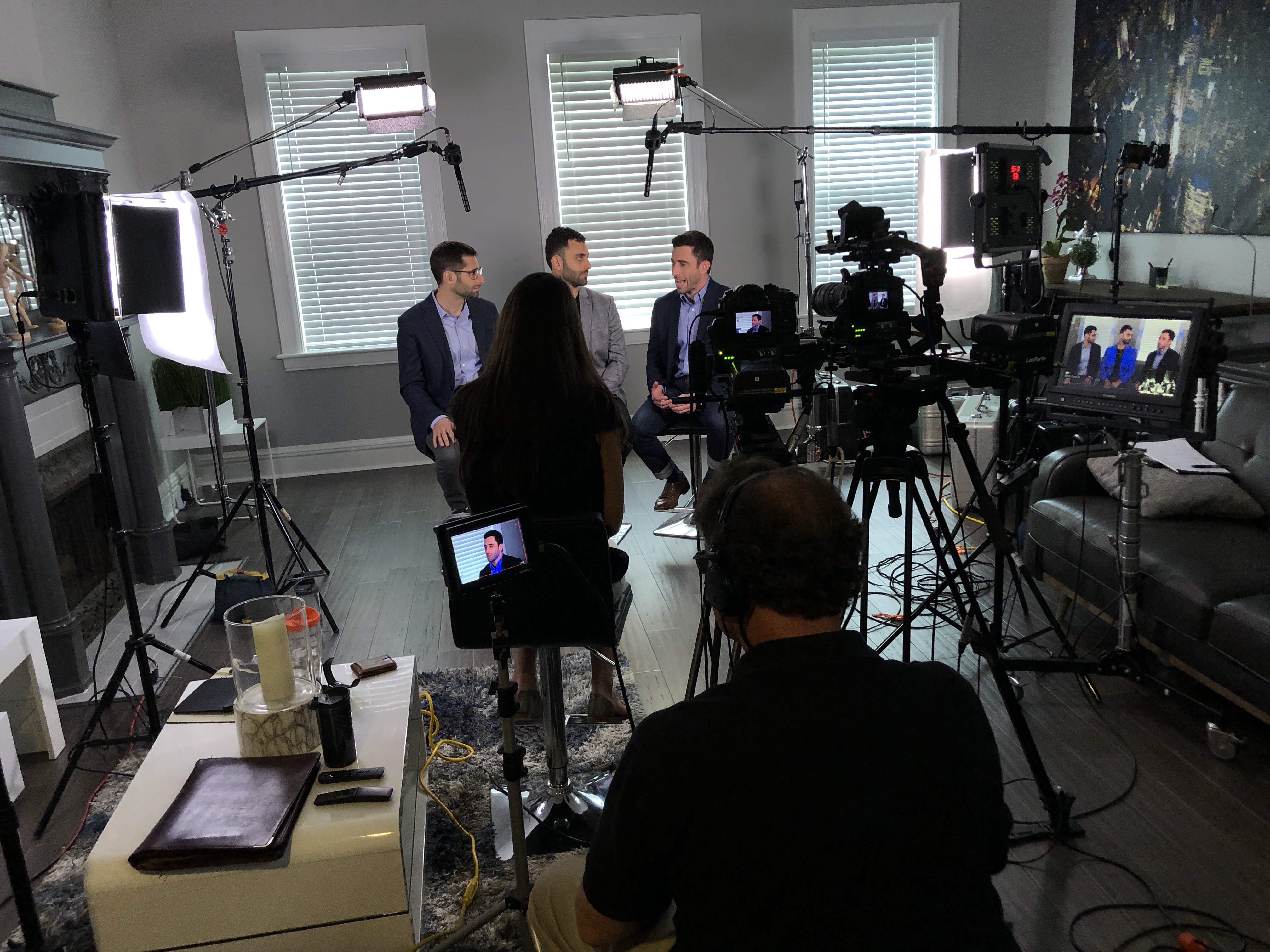
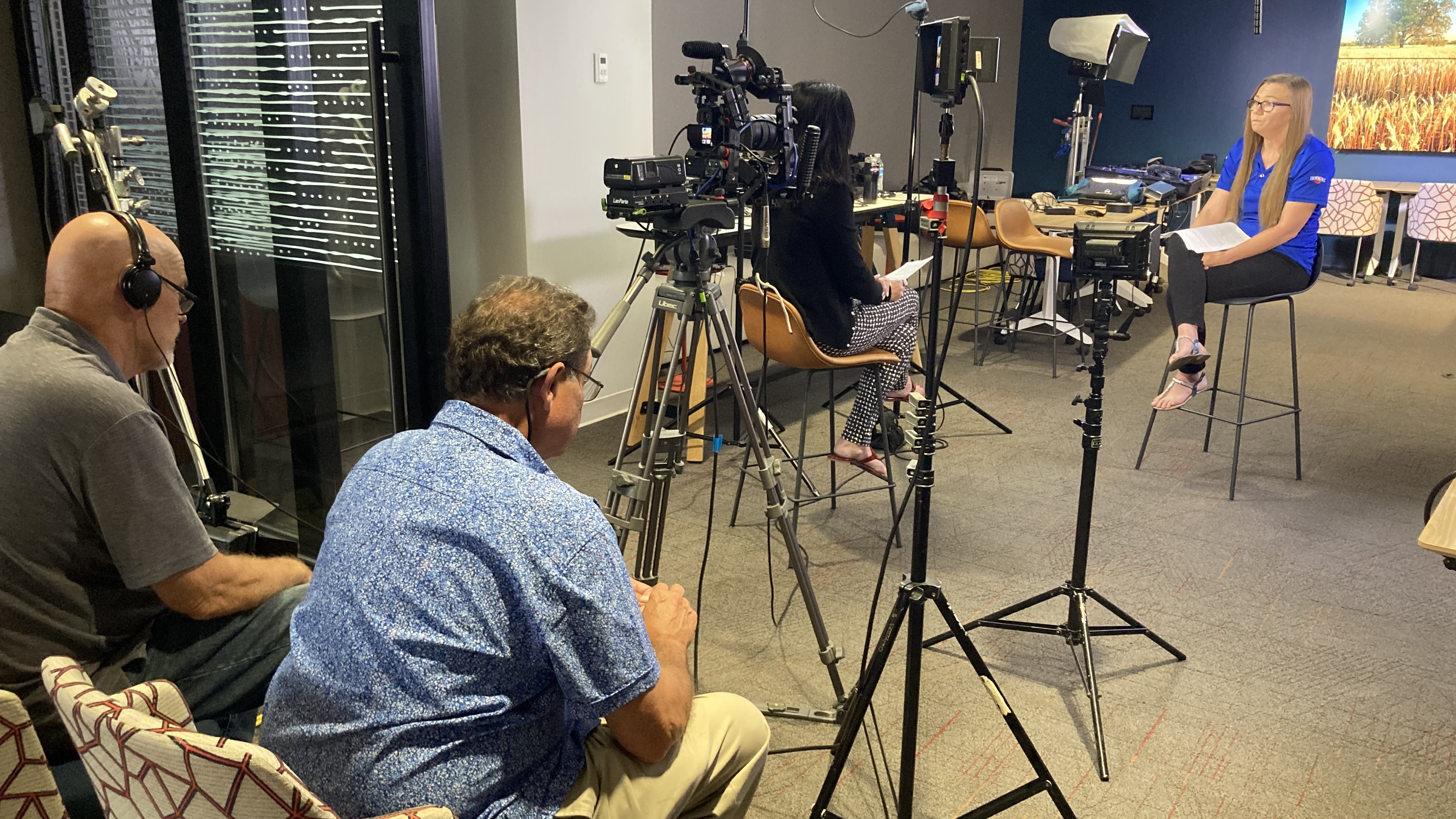
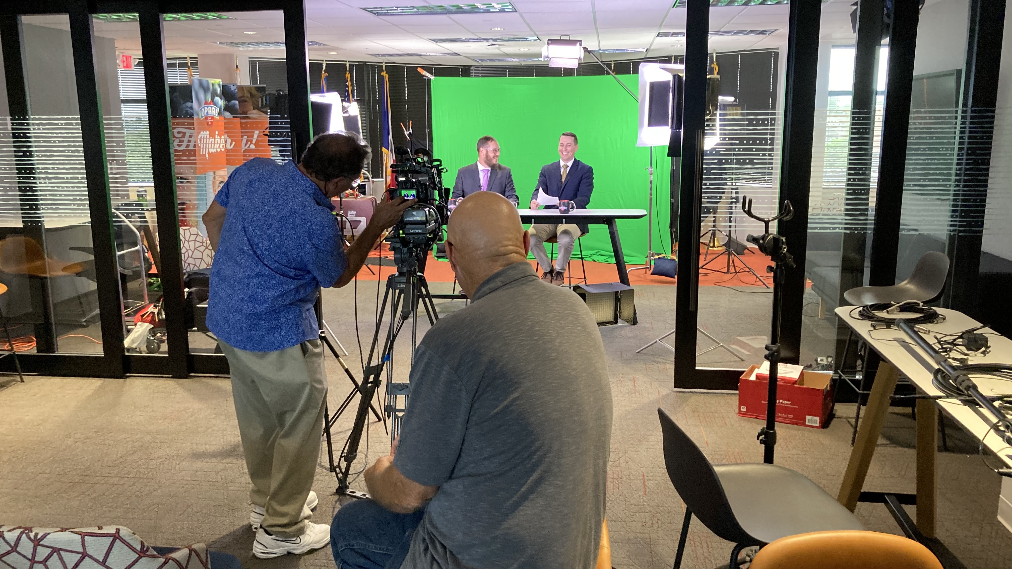
At St Louis Video Production, we are an experienced full-service professional commercial photography and video production company with the right equipment and creative crew service experience for successful image acquisition. We offer full-service studio and location video and photography, as well as editing, post-production and licensed drone services. St Louis Video Production can customize your productions for diverse types of media requirements. Repurposing your photography and video branding to gain more traction is another specialty. We are well-versed in all file types and styles of media and accompanying software, and we use the latest in Artificial Intelligence for all our media services.
Our private studio lighting and visual setup is perfect for small productions and interview scenes, and our studio is large enough to incorporate props to round out your set. We support every aspect of your production, from setting up a private, custom interview studio to supplying professional sound and camera operators, as well as providing the right equipment, ensuring your next video production is seamless and successful. We can fly our specialized drones indoors. Since 1982, St Louis Video Production has worked with many businesses, marketing firms, and creative agencies in the St. Louis area for their marketing photography and video. When you need St. Louis Missouri infrared FLIR thermal drone services backed by real production experience, technical capability, and a creative team that understands how to turn complex visuals into useful media, St Louis Video Production is ready to help.
Mike Haller 314-913-5626 stlouisvideoproduction@gmail.com