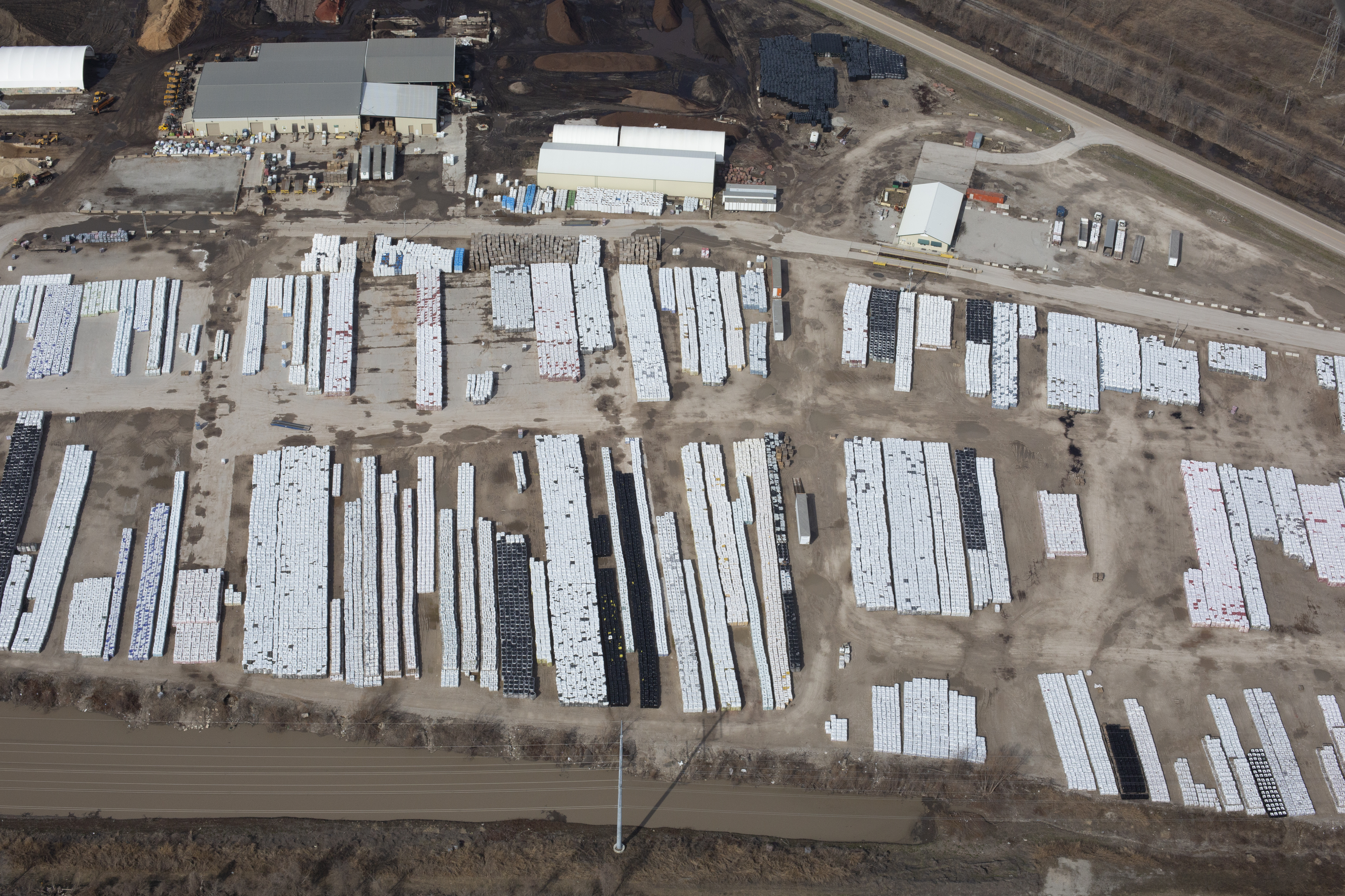
Using Drones and Airplane Aerial Photography for Accurate Stockpile Reporting
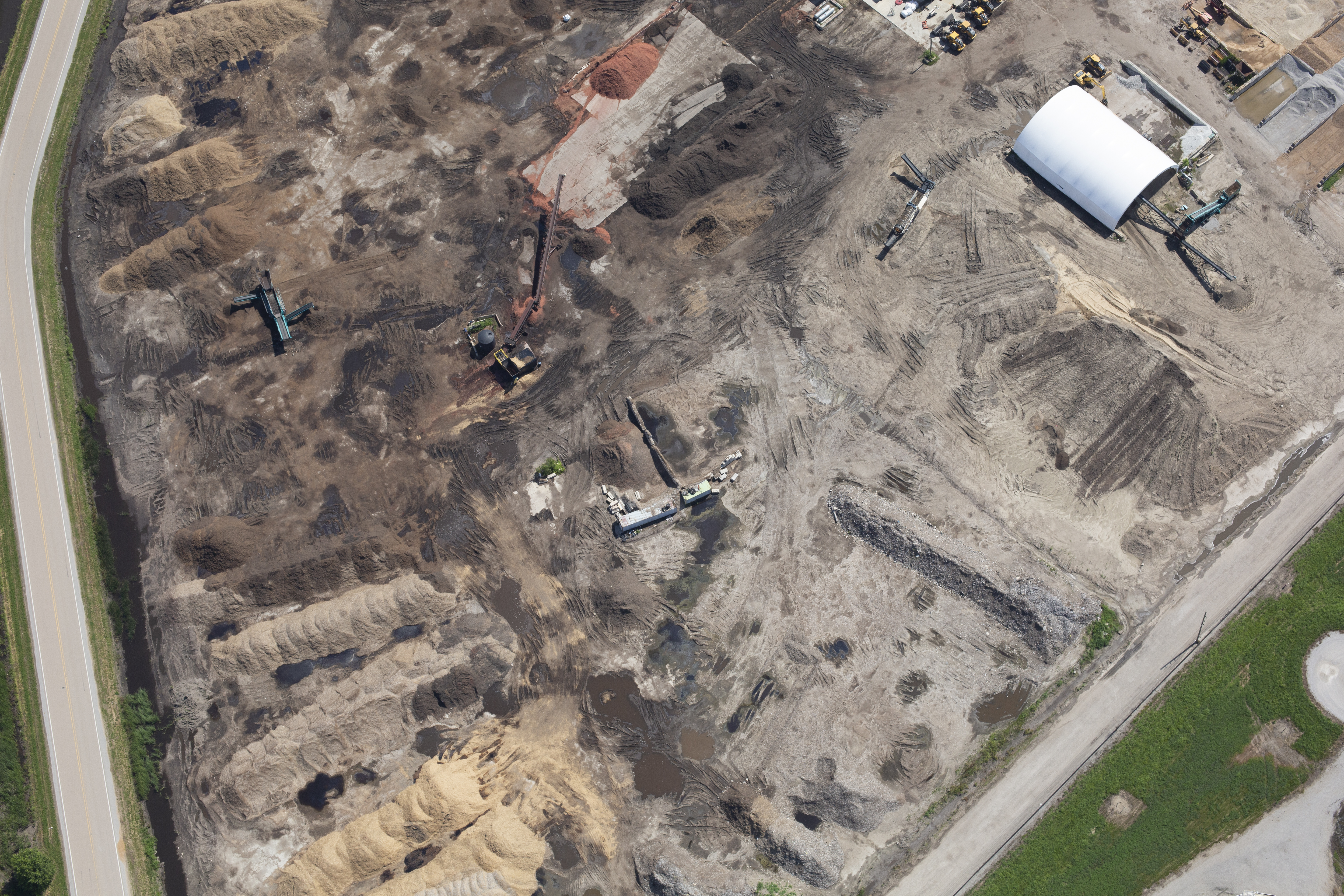
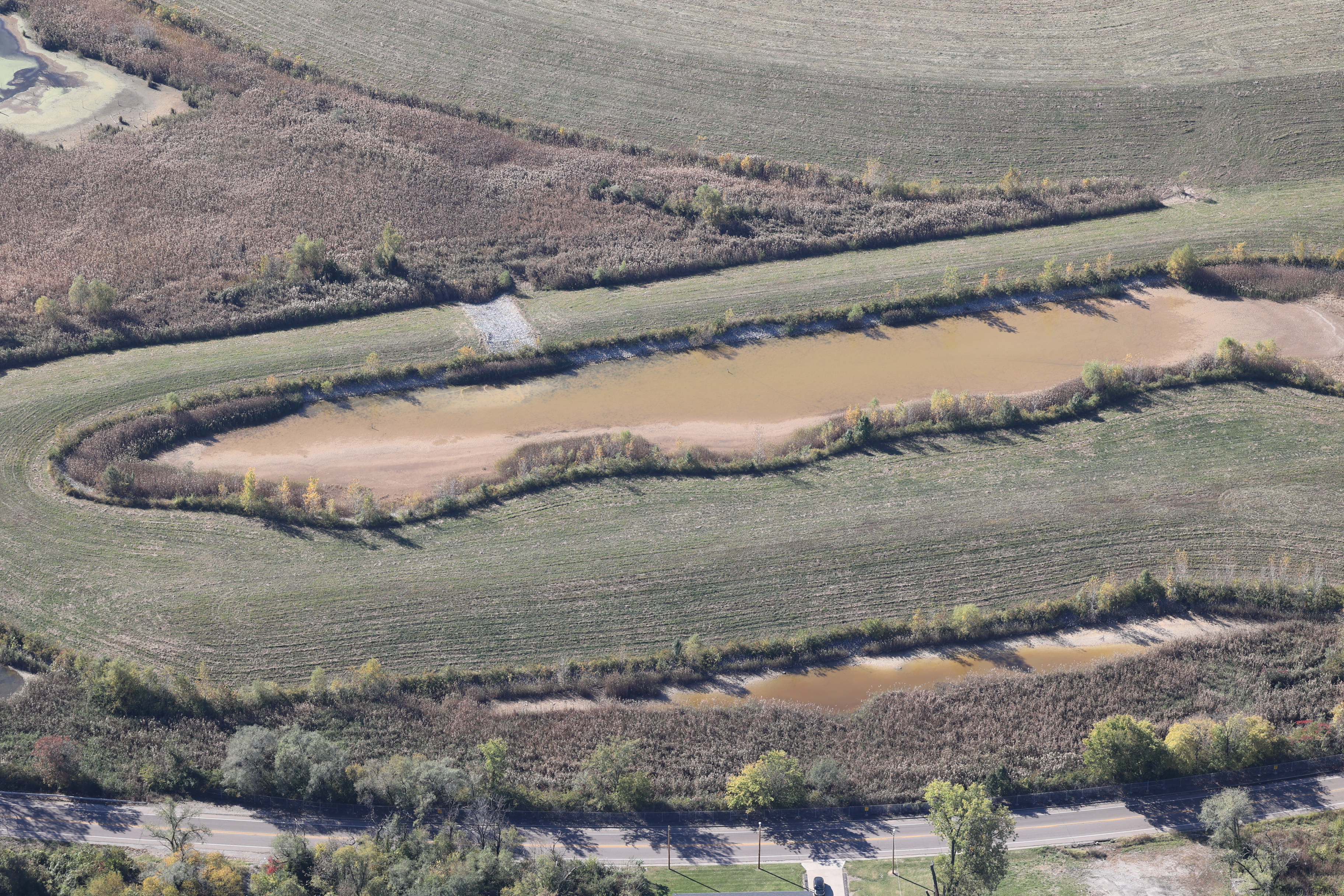
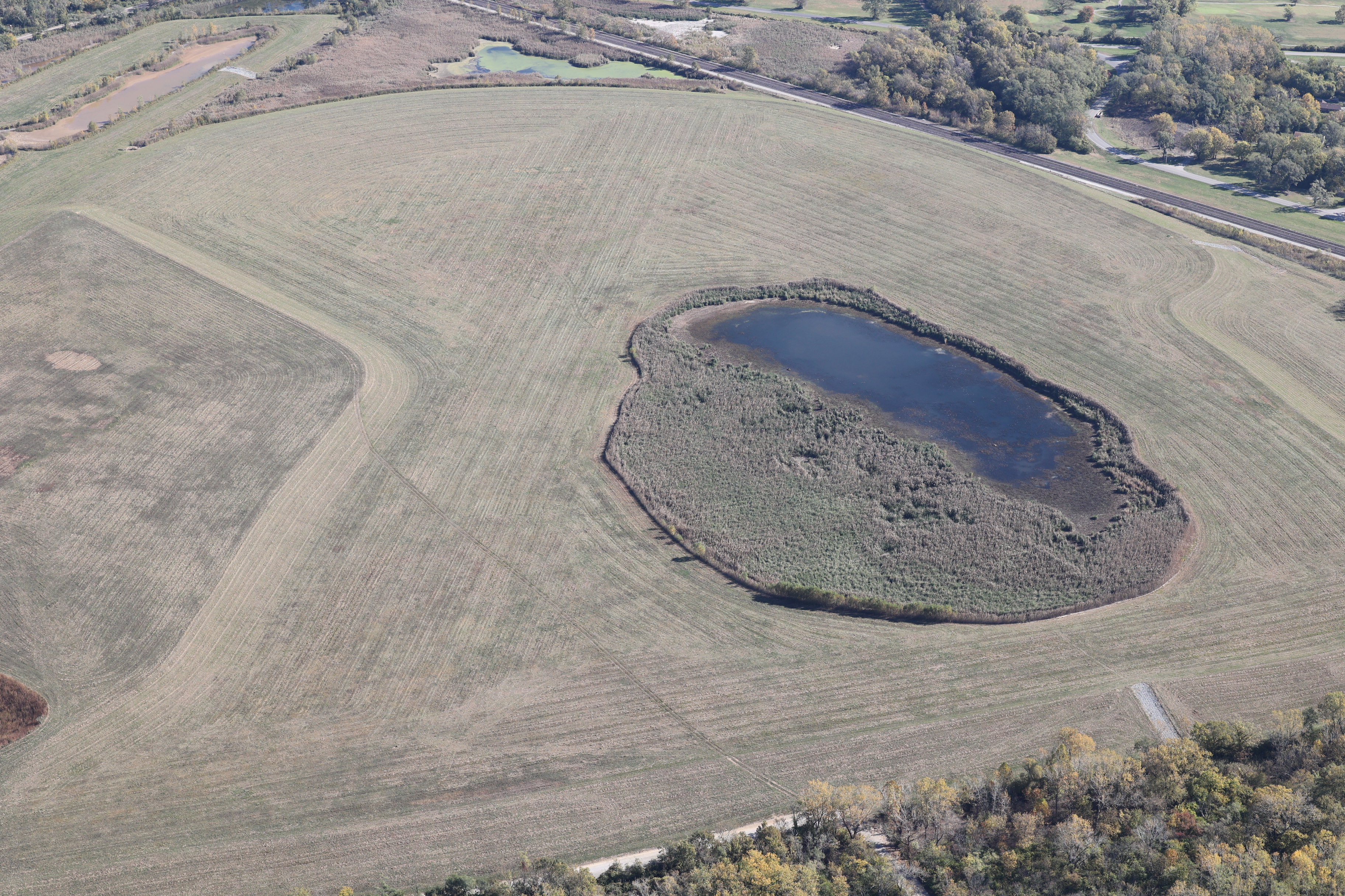
Whether you’re managing raw materials, aggregate stock, construction debris, or industrial waste, aerial imaging provides the vantage point needed to capture volume, shape, and distribution with precision. At St Louis Video Production, we specialize in using both drone and airplane aerial photography to document, measure, and report stockpiles in a way that is efficient, safe, and legally compliant.
Why Aerial Imaging Is Ideal for Stockpile Reporting
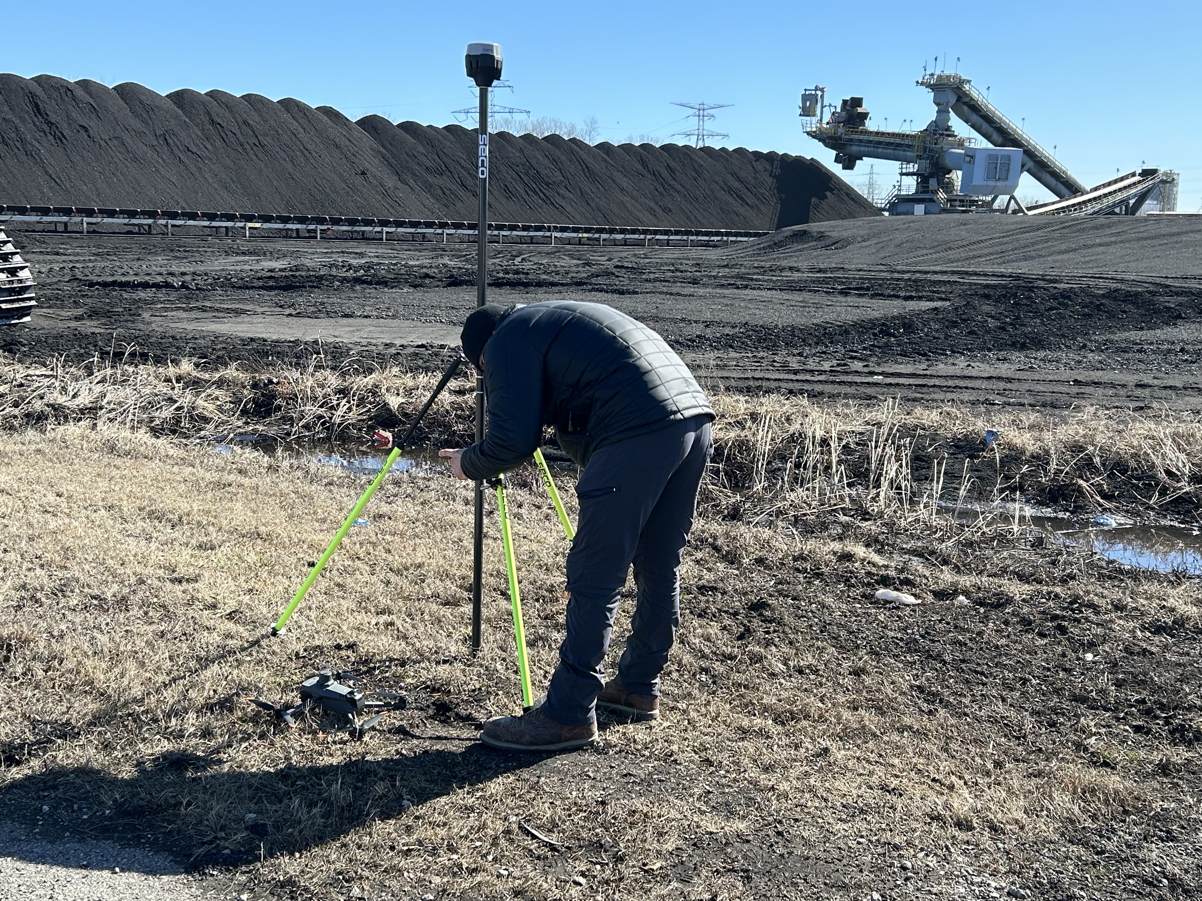
Traditional ground-based methods for measuring stockpiles—such as manual surveying or GPS rovers—can be time-consuming, error-prone, and risky in unstable terrain. Aerial photography, by contrast, allows for fast, non-invasive documentation of large areas with a high degree of accuracy. It also provides consistent repeatability over time, ideal for routine inventory updates.
Aerial visual data supports:
- Volumetric analysis
- Progress monitoring
- Environmental compliance
- Asset valuation
- Insurance documentation
But not all aerial methods are created equal. The choice between drones and airplanes depends on airspace access, jobsite complexity, regulatory constraints, and data resolution needs.
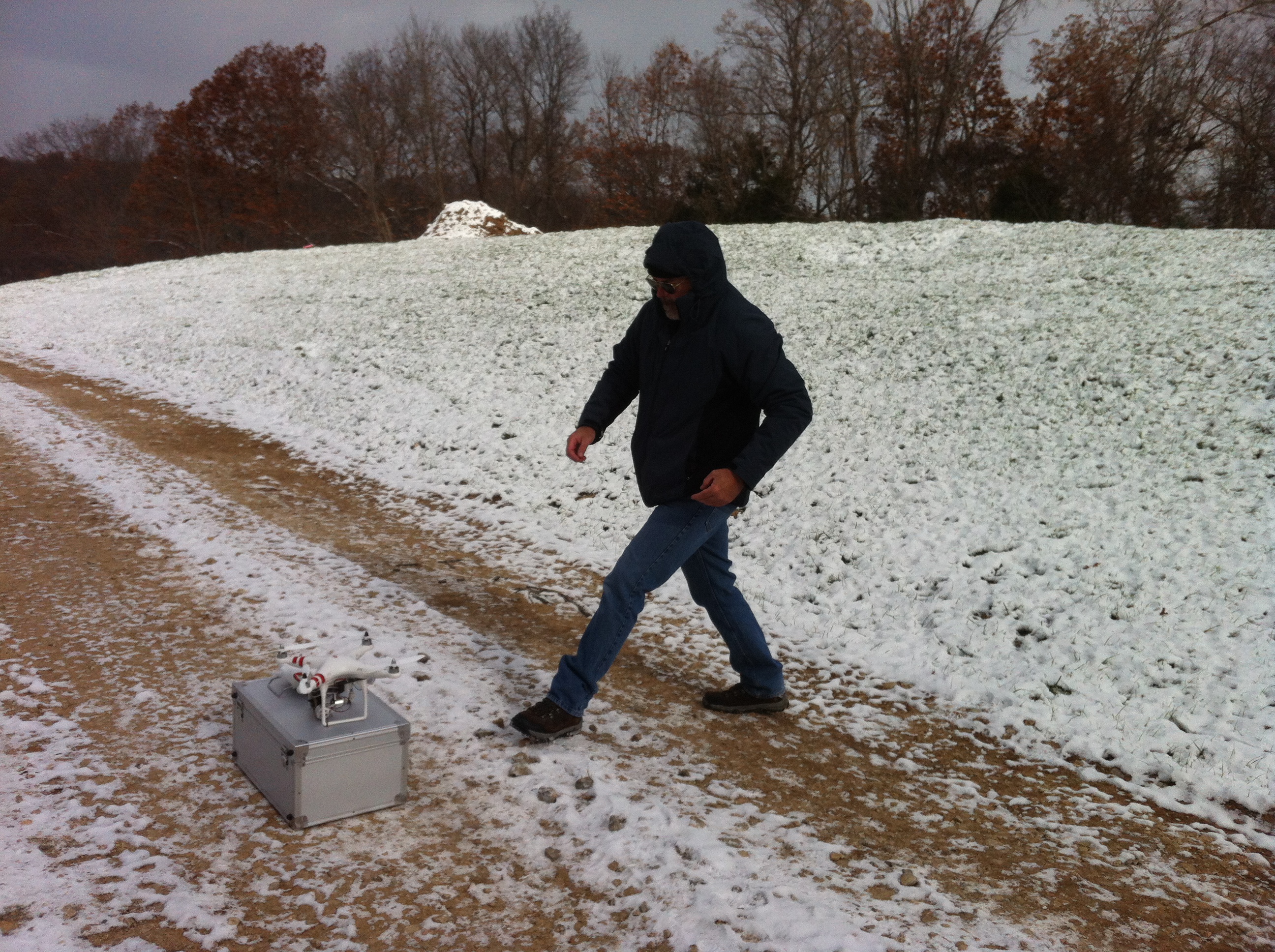
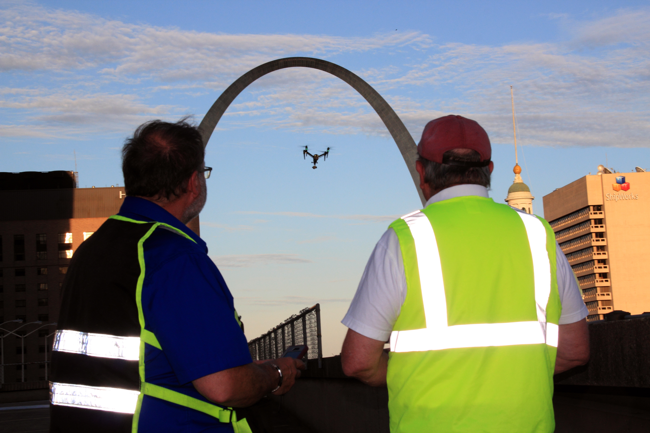
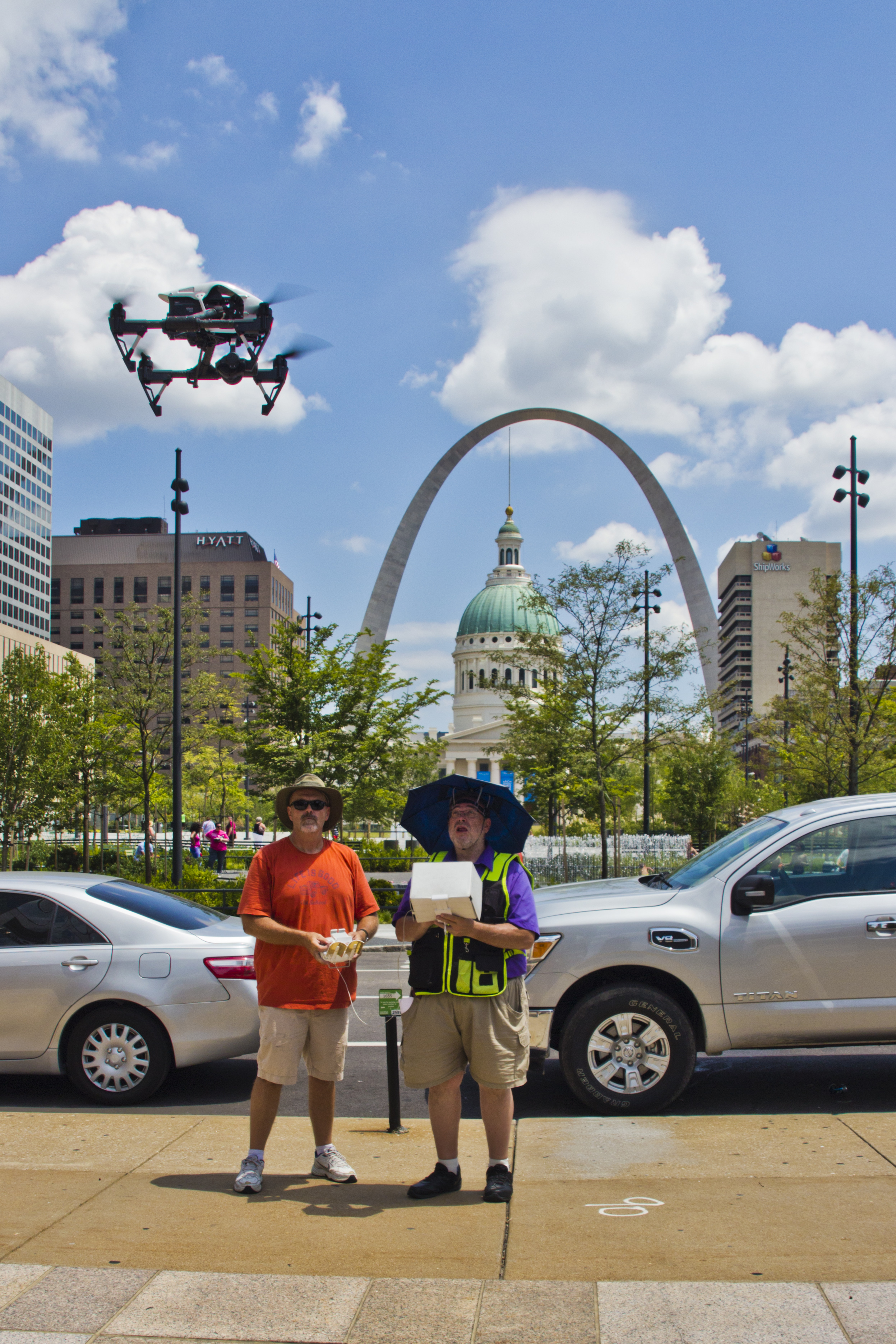
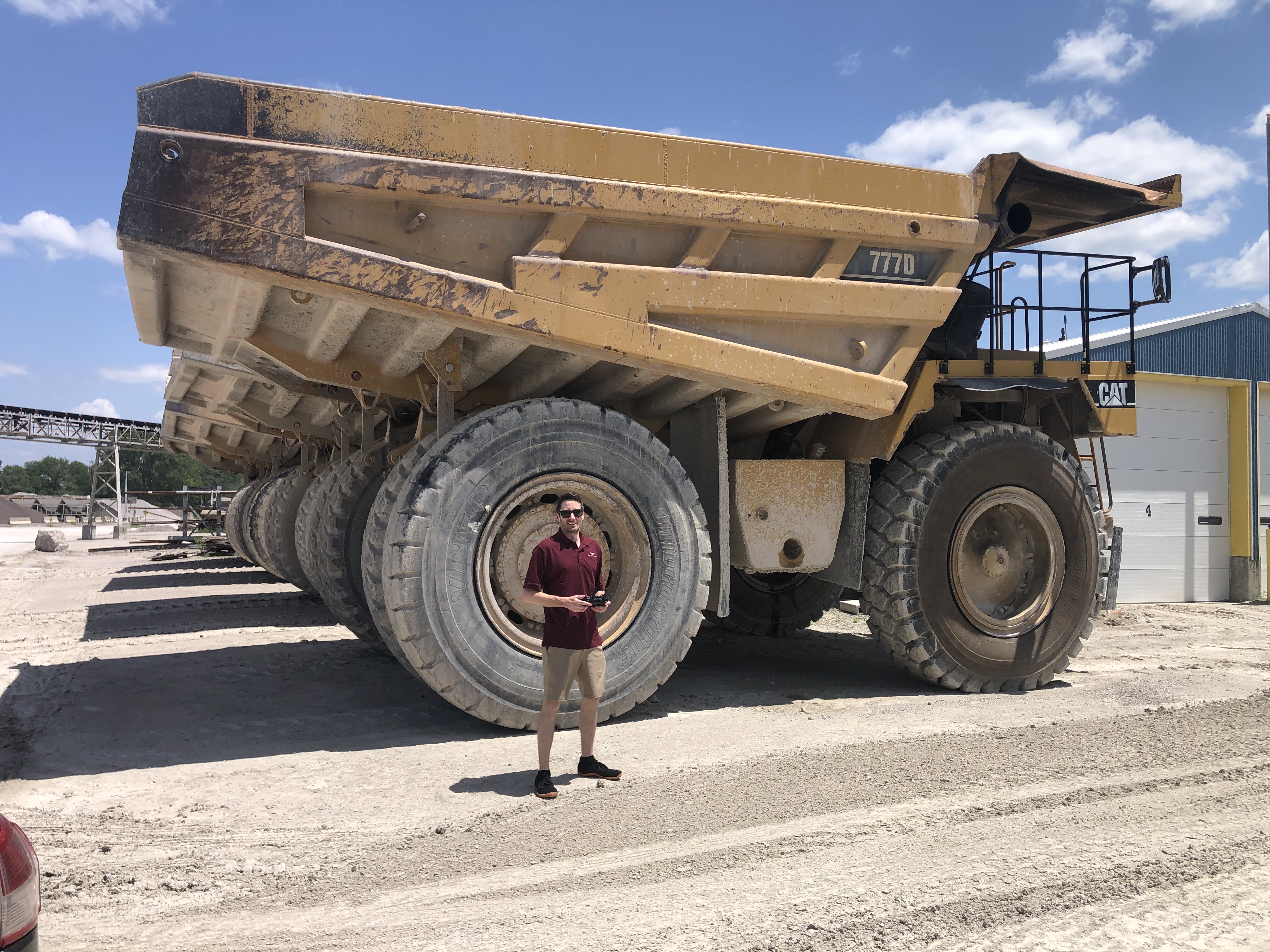
When to Use Drones for Stockpile Imaging
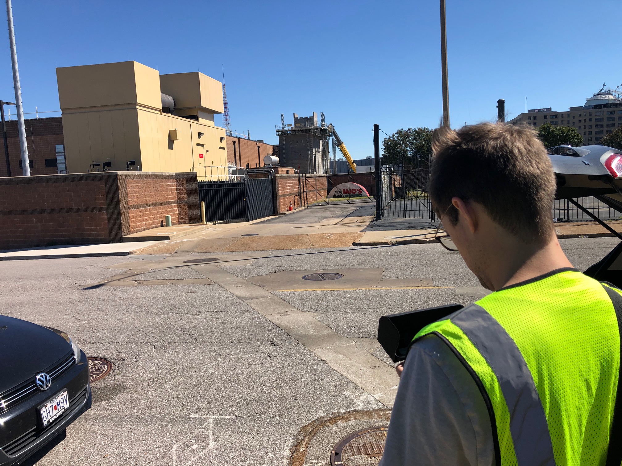
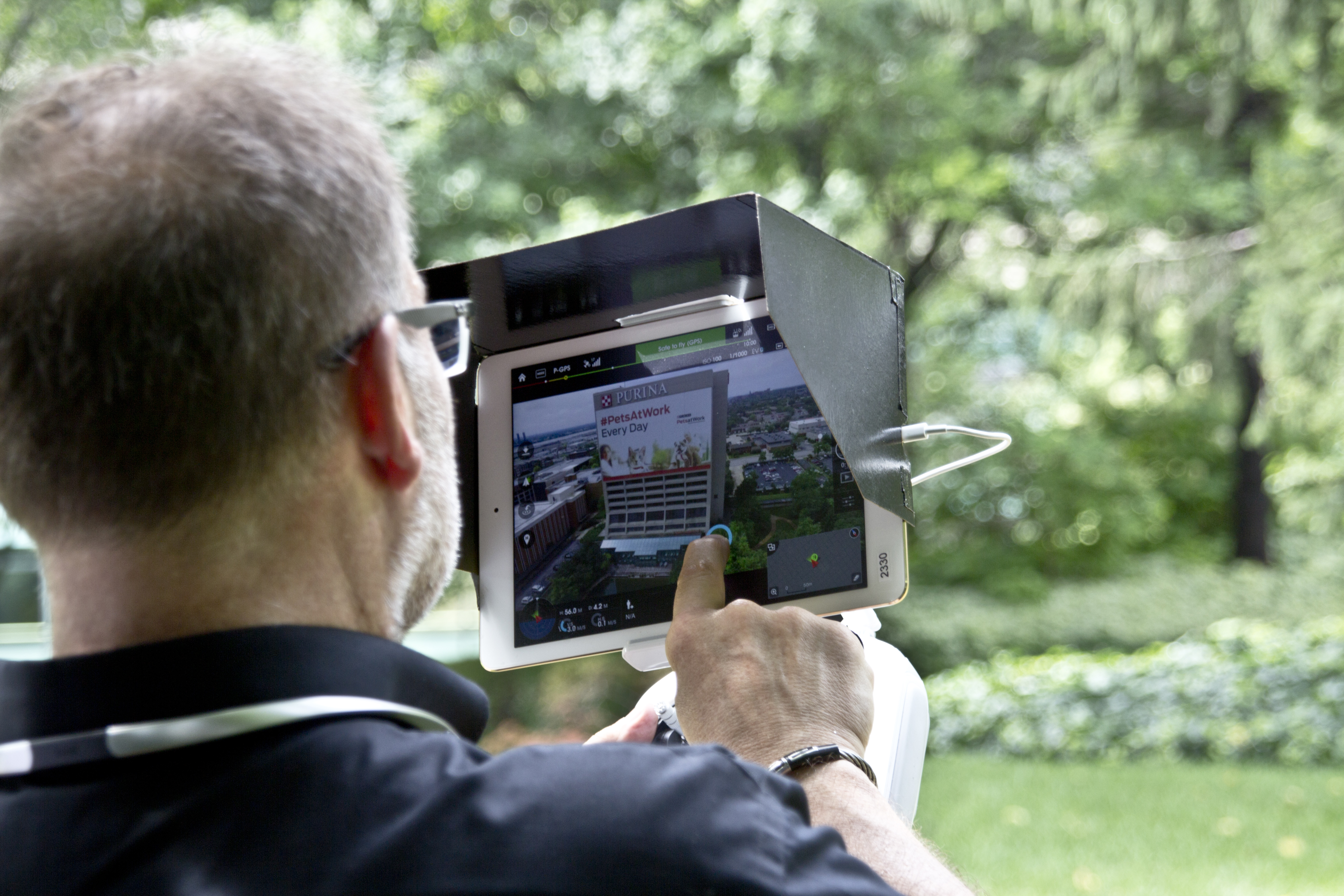
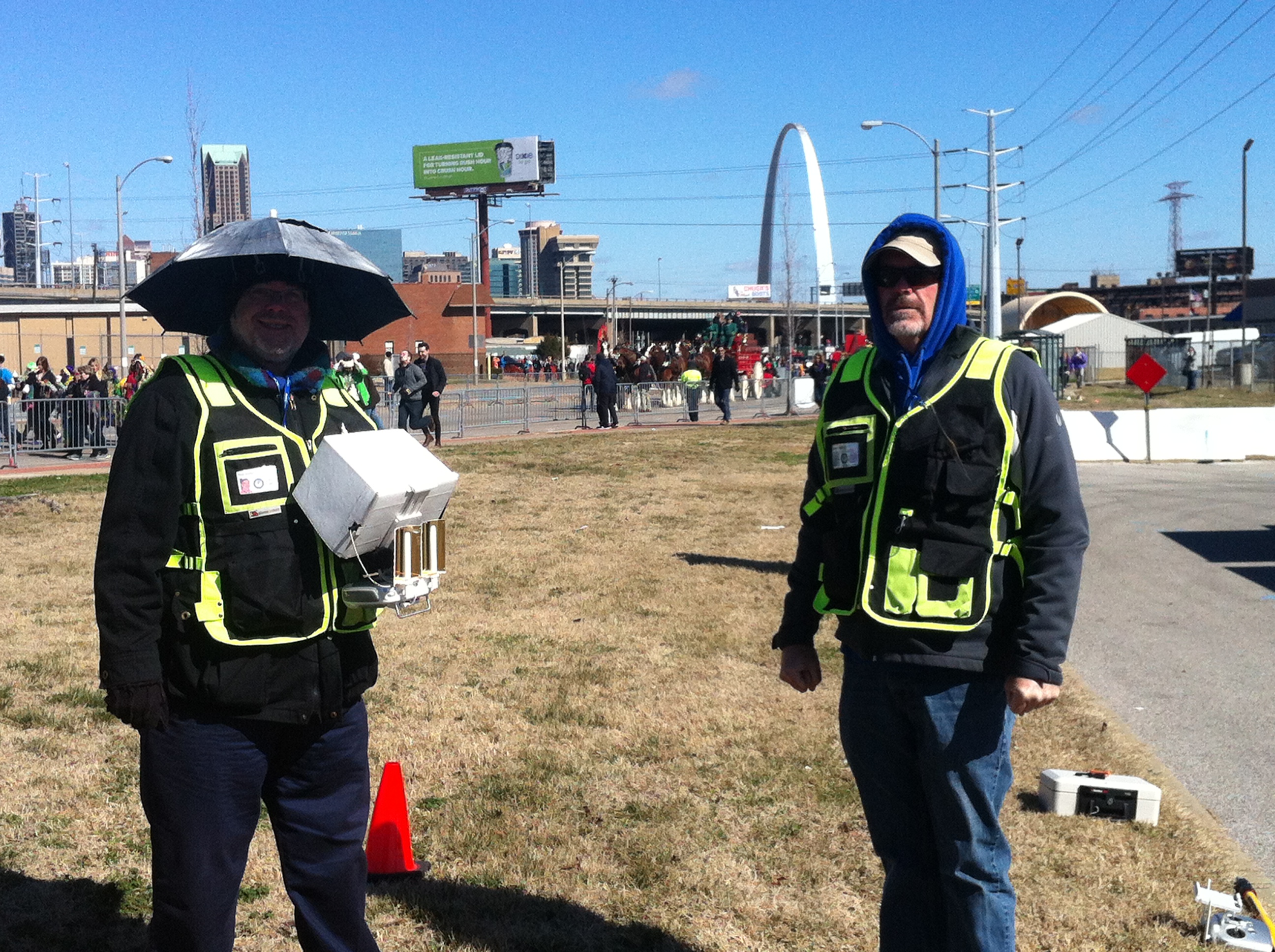
Unmanned Aerial Vehicles (UAVs)—commonly referred to as drones—are incredibly effective for stockpile reporting, especially on active or mid-sized sites.
Advantages of drone-based aerial photography include:
- High-resolution, low-altitude imaging: Perfect for smaller stockpiles or congested sites where detail matters.
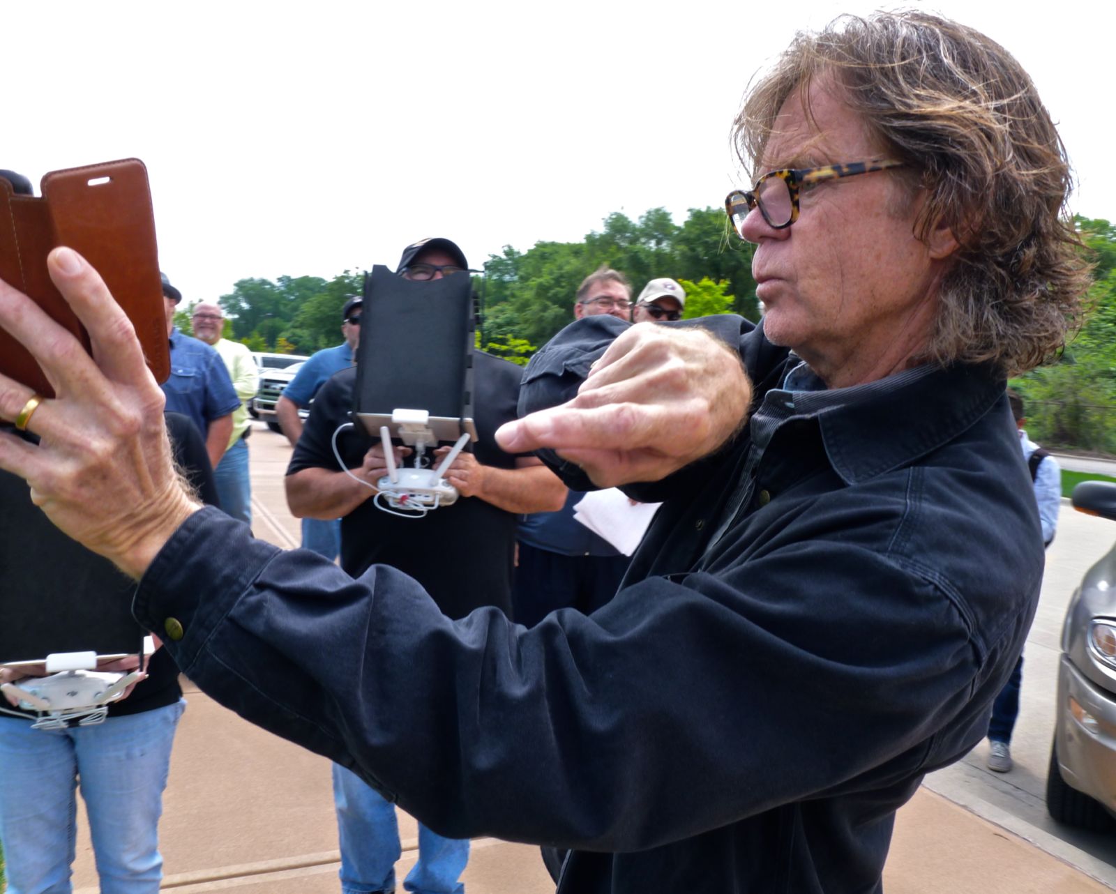
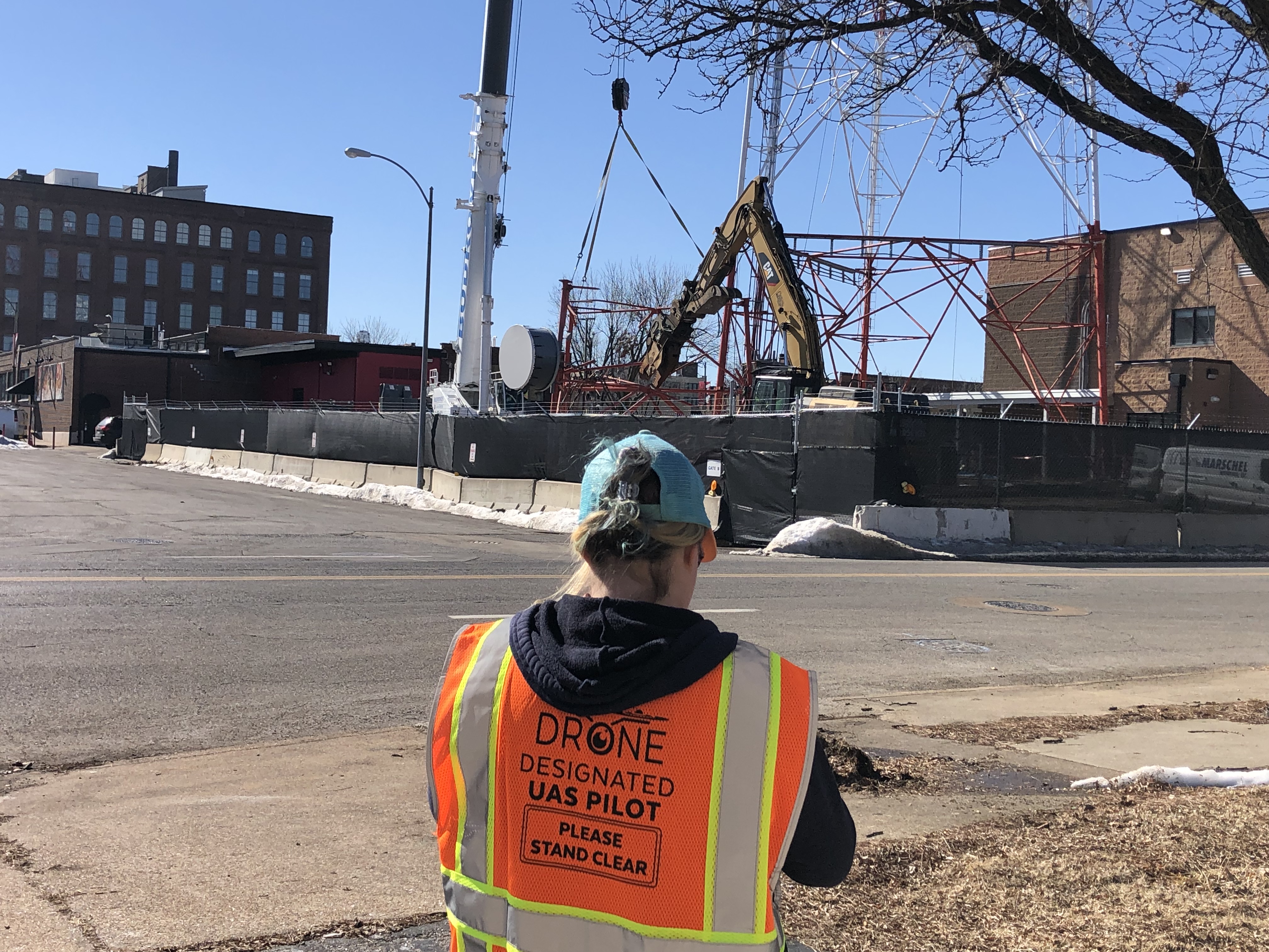
- Rapid deployment: Our FAA-licensed drone operators can be on-site and airborne in minutes.
- Cost efficiency: Especially effective for routine or recurring imaging needs.
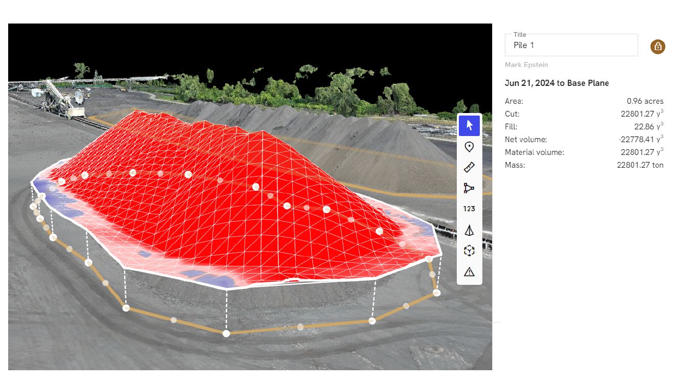
- Photogrammetry for 3D modeling: Drones capture overlapping images that can be converted into orthomosaic maps and volumetric measurements with centimeter-grade accuracy.
Drones are especially useful when flying under 400 feet, and within FAA-approved areas not restricted by airspace classifications or site-specific constraints.
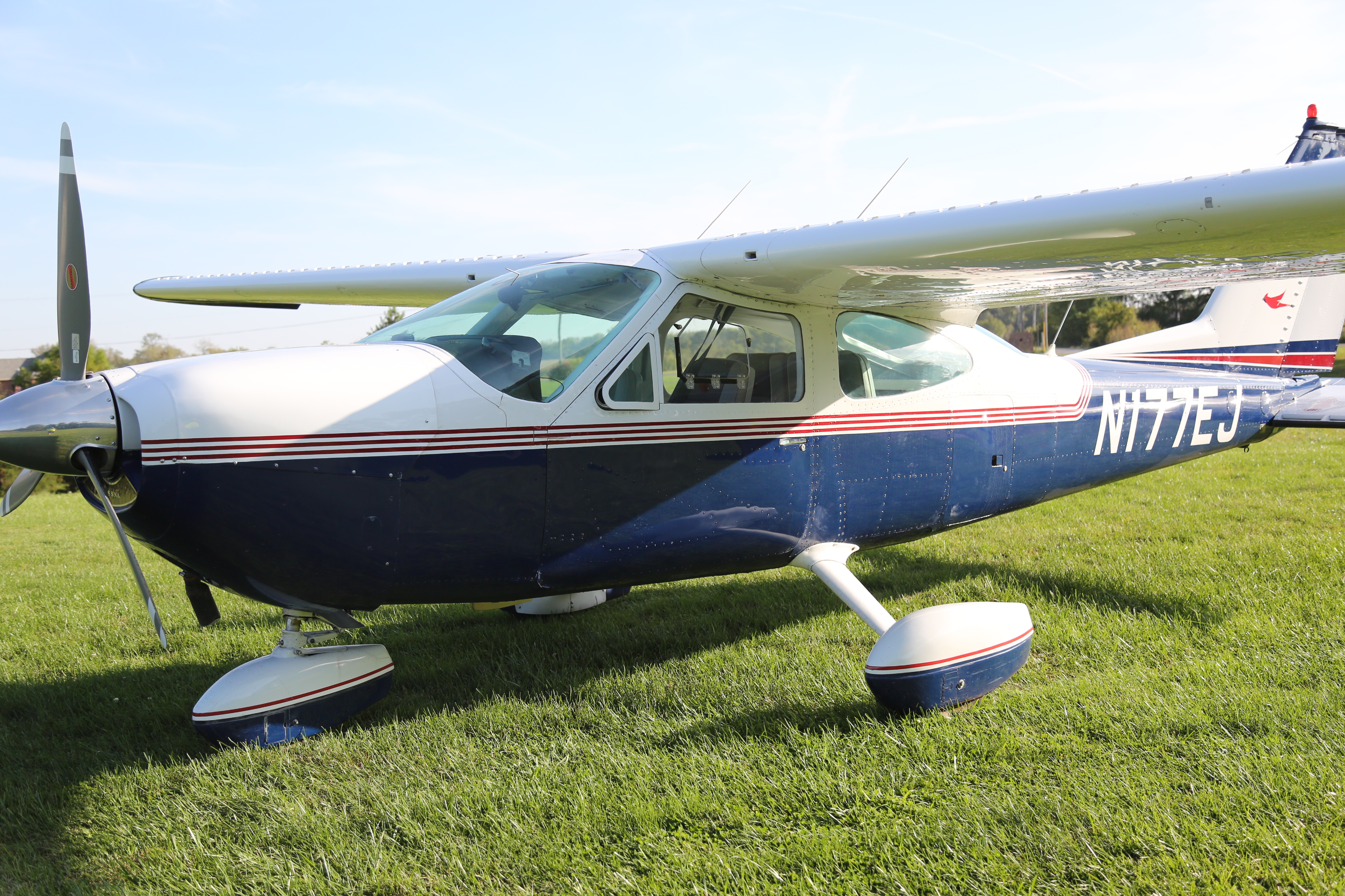
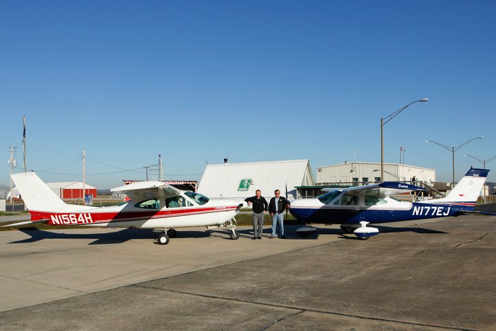
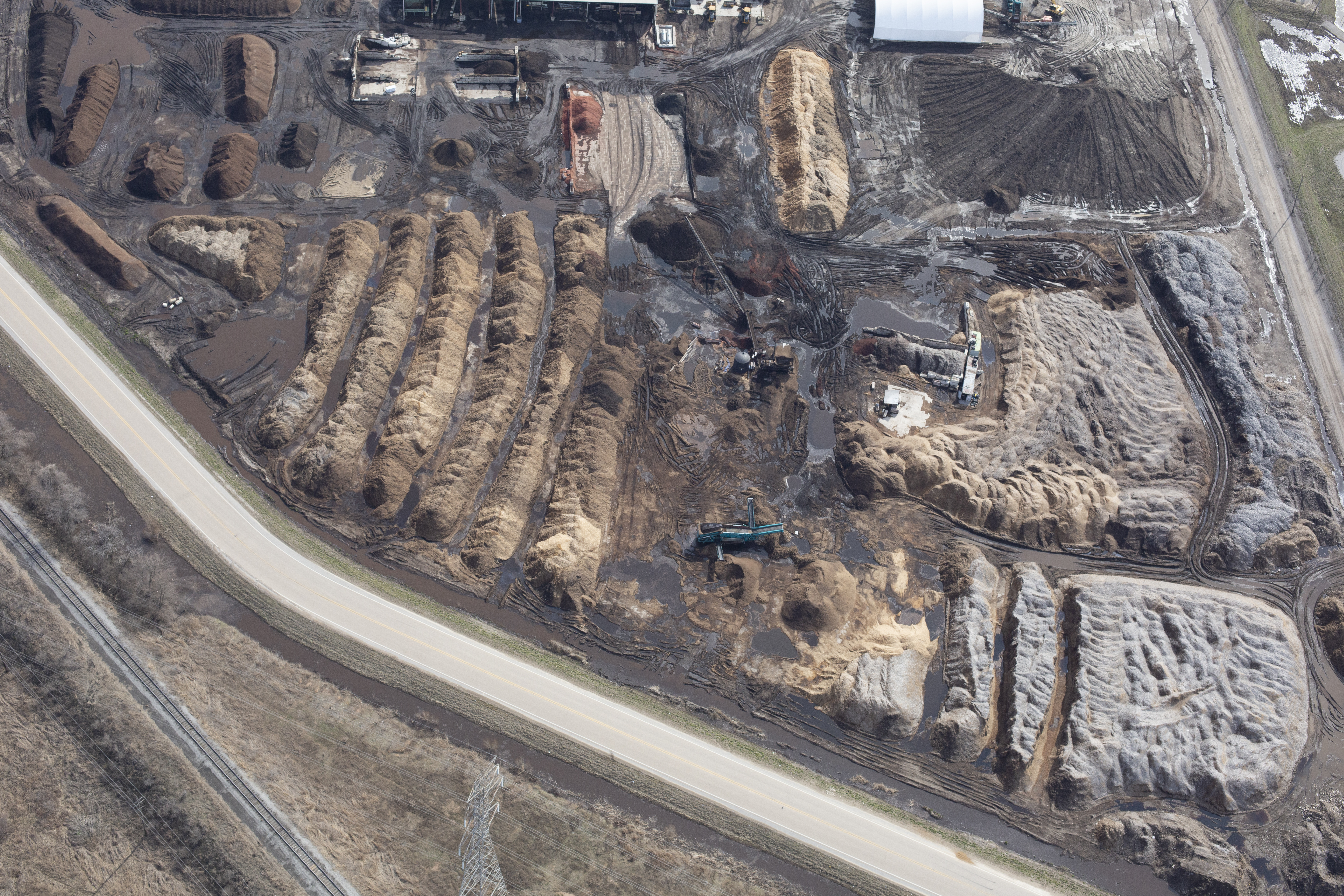
When Airplane Aerial Photography Is the Right Tool
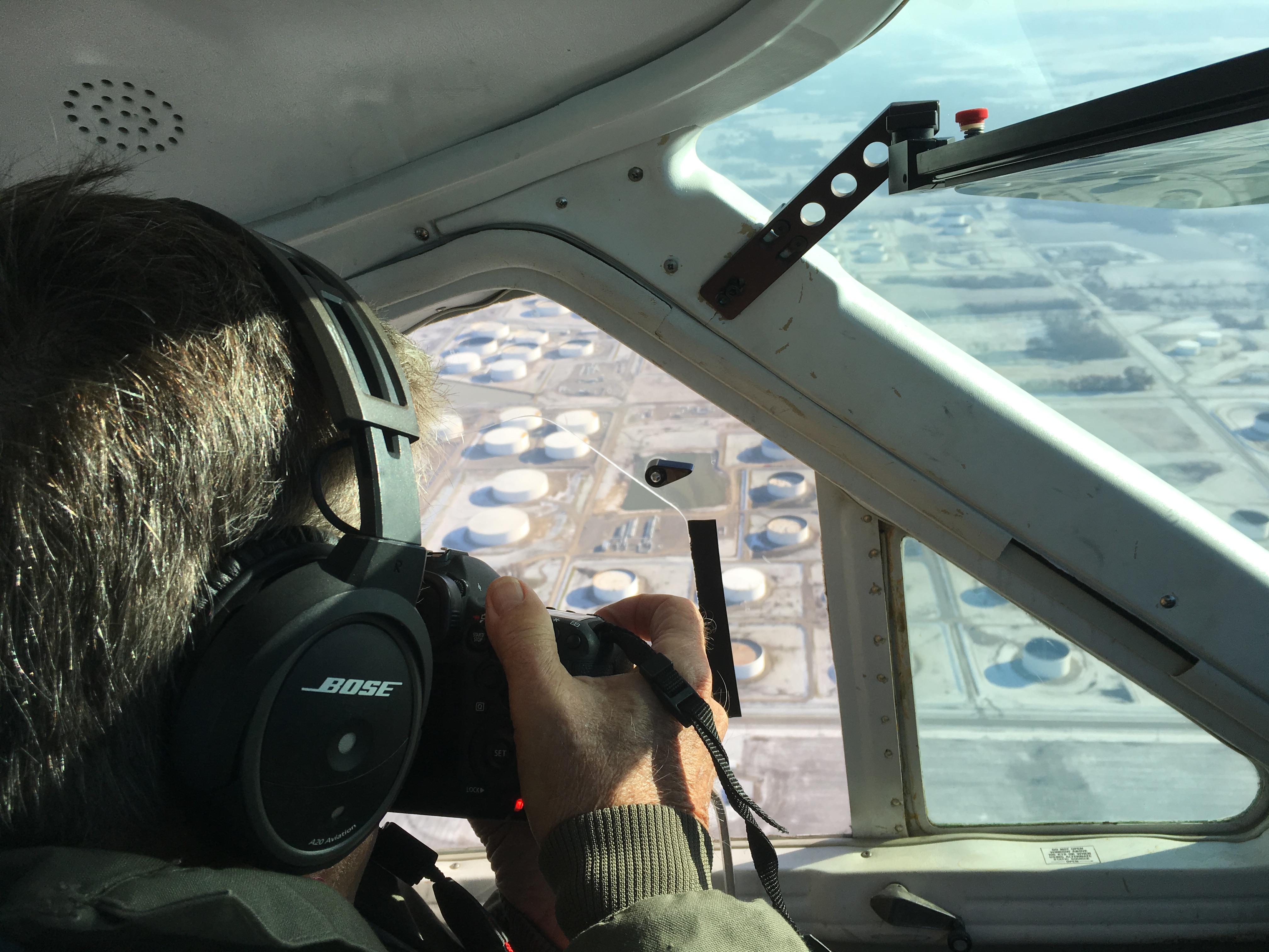
For large-scale operations, restricted airspace, or high-altitude capture needs, manned airplane aerial photography is the solution.
Advantages of airplane-based aerial photography include:
- Legal compliance in no-drone zones: We safely operate in areas where drones are prohibited due to proximity to airports, military bases, or hazardous infrastructure.
- Full-site capture in a single pass: Fixed-wing aircraft can photograph entire operations from an altitude that delivers complete context and minimizes distortion.
- Repeatable flight paths: Ideal for regularly scheduled documentation and historical comparison.
- Complementary to drone use: We often integrate both methods in a hybrid solution that maximizes data resolution and area coverage.
With advanced gyroscopic camera mounts and high-megapixel sensors, our manned aerial flights produce detailed images ready for analysis and reporting.

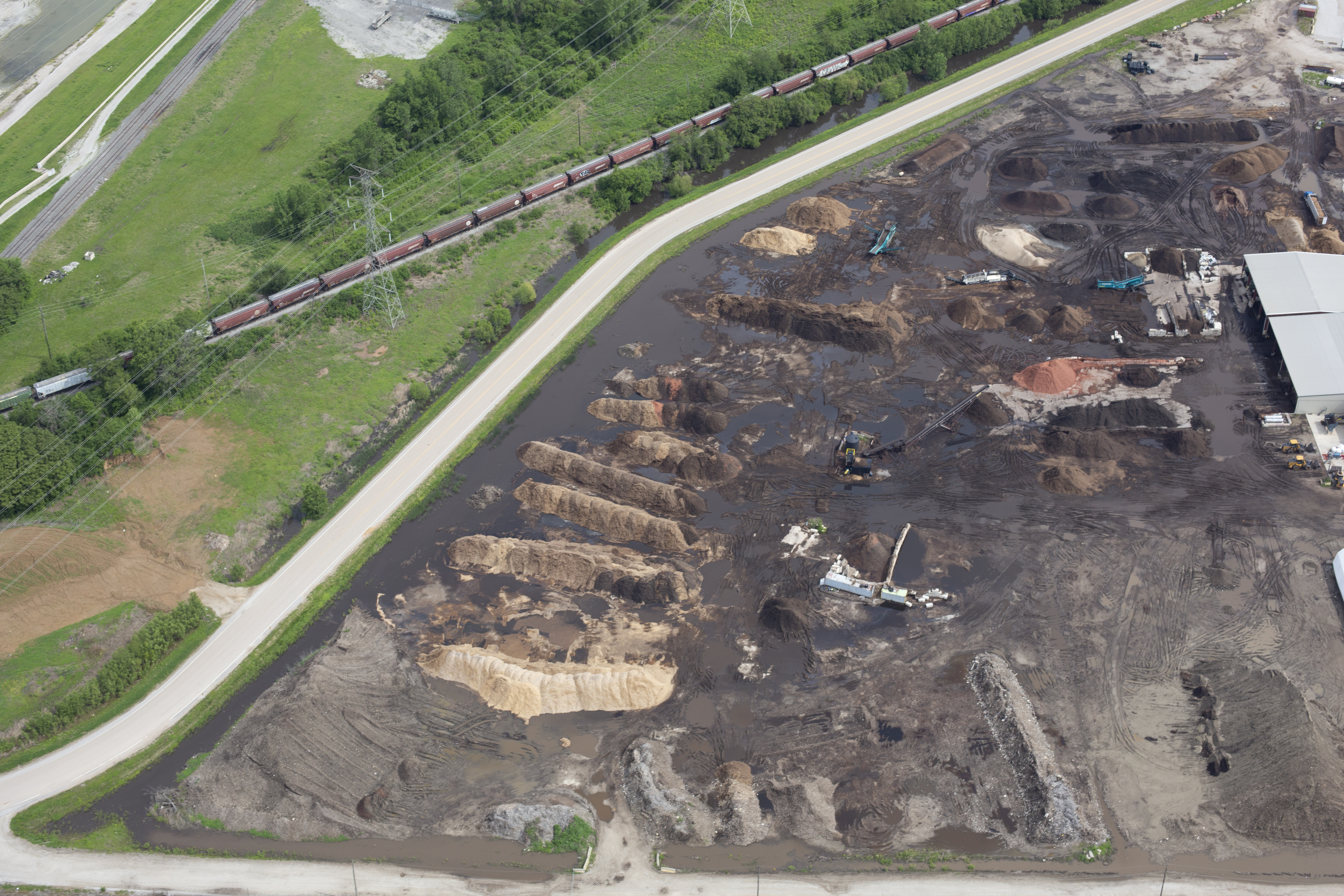
The Hybrid Advantage: Drones + Airplanes
Many of our stockpile reporting projects involve a hybrid approach—leveraging drones for close-range, high-resolution 3D mapping, while using airplane photography for broader site context and compliance. This dual approach ensures our clients receive the most comprehensive, regulation-ready, and visually clear documentation possible.
We also apply AI-assisted image processing to rapidly extract edge boundaries, calculate volumes, and render visual overlays for reports and presentations. These tools help our clients meet stakeholder, auditor, and regulatory requirements with minimal time on-site.
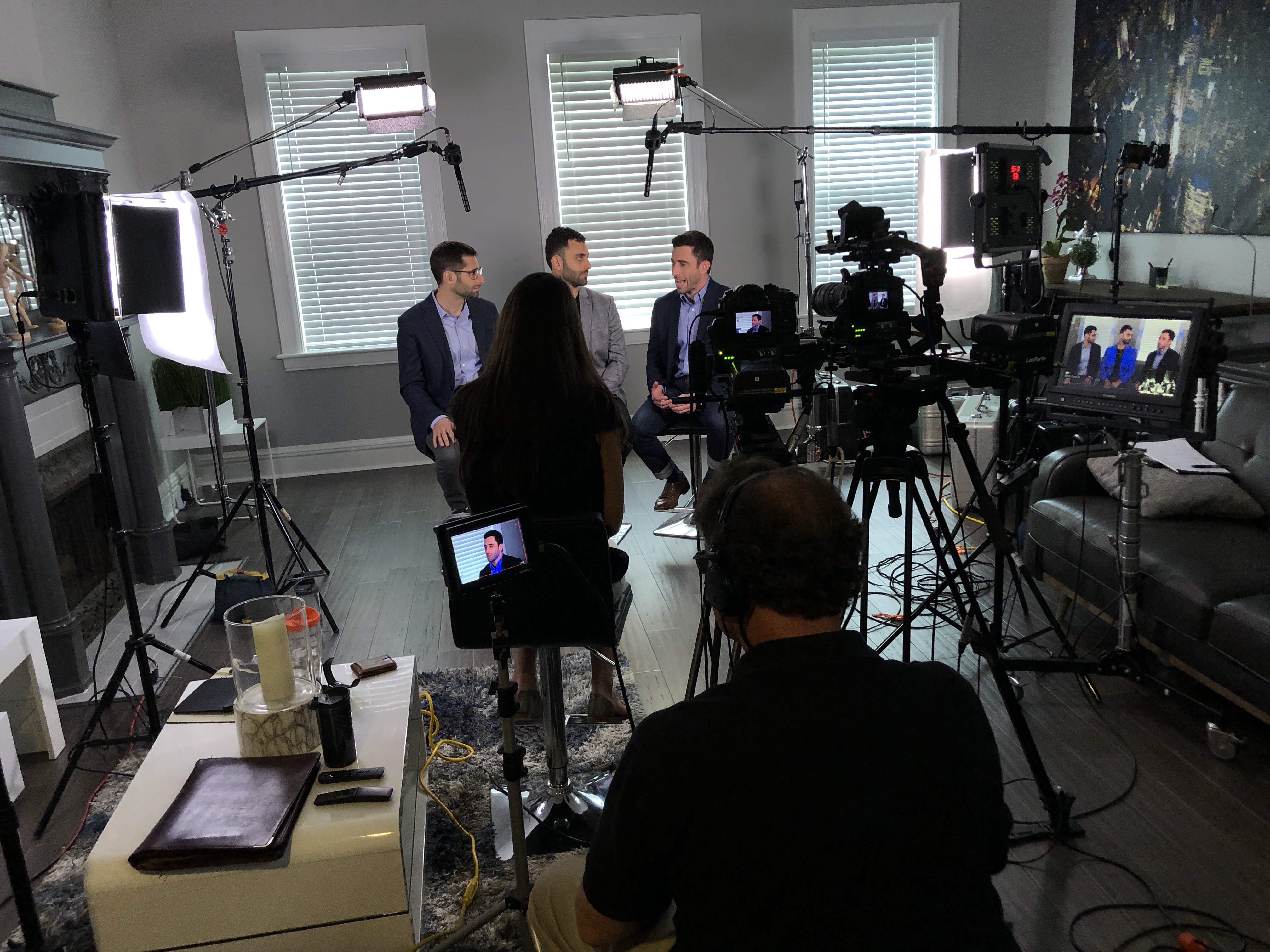
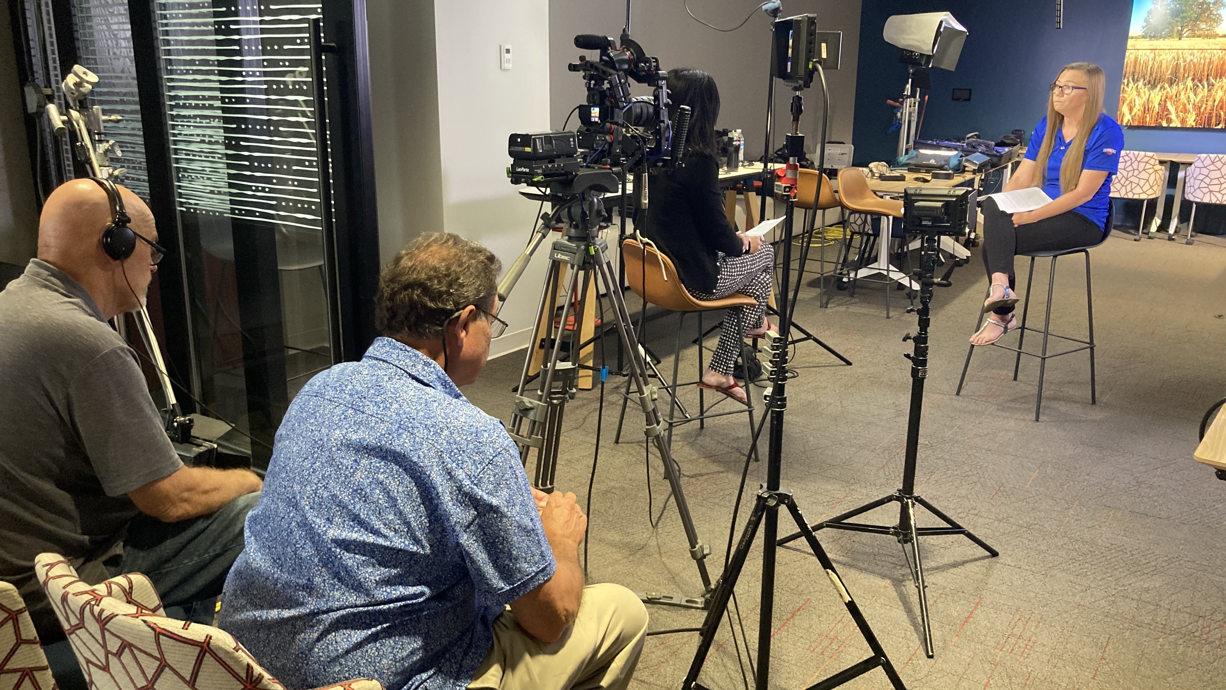
Why Choose St Louis Video Production?
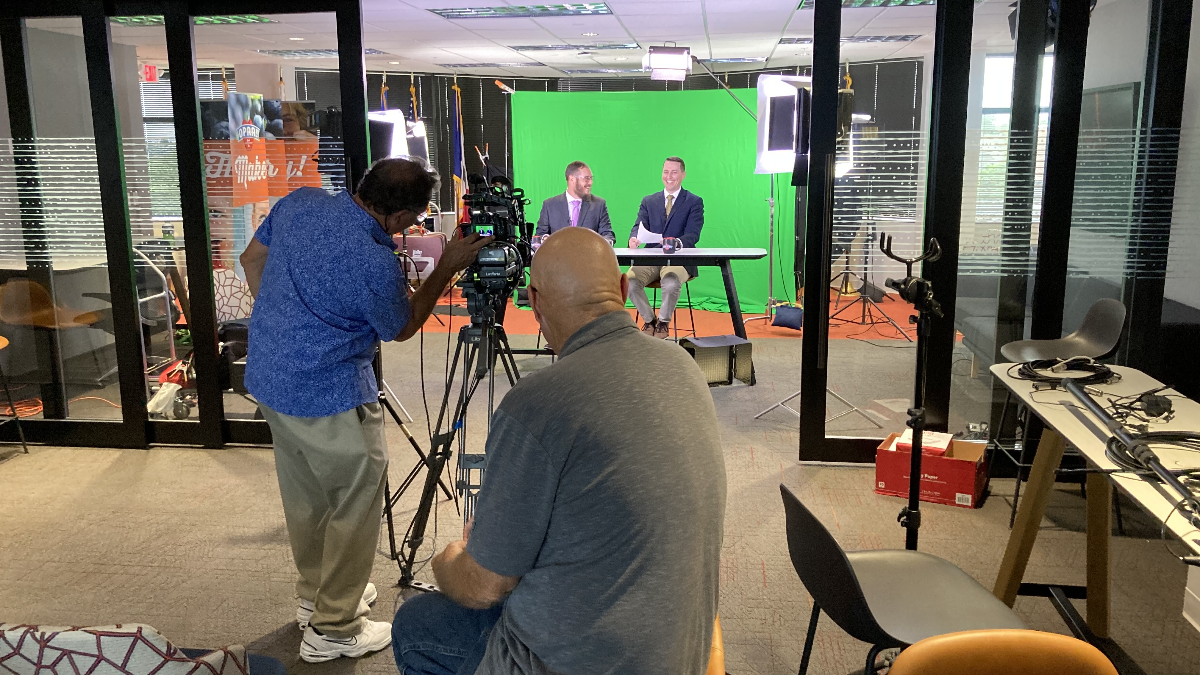
At St Louis Video Production, we’ve been at the forefront of commercial video and photography services since 1982. We bring the right combination of technical expertise, creative insight, and field-tested equipment to every stockpile reporting project—whether by drone, airplane, or both.
We offer:
- Full-service studio and location video and photography
- Expert editing, post-production, and file formatting across all media types
- FAA-licensed drone pilots and coordinated manned aerial flight operations
- AI-powered image processing for fast and accurate volumetrics
- Indoor and outdoor lighting and visual setup tailored to each production
- A private studio environment for custom interview shoots, corporate messaging, and product showcases
- Repurposing services that help maximize the reach and ROI of your video and photography assets across platforms
When drones can fly—we’re ready. When airplanes are required—we’re cleared. When both are needed—we deliver.
Whether you’re monitoring gravel piles, tracking landfill expansion, or documenting site development over time, St Louis Video Production has the tools, experience, and creativity to provide the aerial data that drives results.
Let’s talk about how we can elevate your next stockpile reporting project—literally.
Mike Haller 314-913-5626 stlouisvideoproduction@gmail.com